Area Overview for LE1 7DW
Photos of LE1 7DW
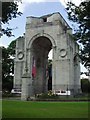
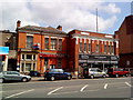
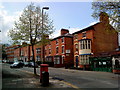
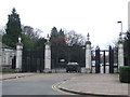
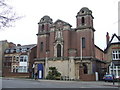
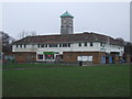
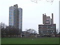
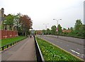
99 photos from this area
Area Information
Key information about the LE1 7DW including its size, population, and administrative classification.
- Area Type
- Postcode
- Area Size
- 1157 m²
- Population
- 1290
- Population Density
- 11922 people/km²
House Prices in LE1 7DW
8
Properties
£245,500
Average Sold Price
£180,000
Lowest Price
£311,500
Highest Price
Showing 8 properties
| Address | Type | Beds | Baths | Last Sale Price | Last Sale Date | |
|---|---|---|---|---|---|---|
| 93 Princess Road East, Leicester, LE1 7DW | Flat | 2 | 1 | £311,500 | Mar 2024 | |
| 95 Princess Road East, Leicester, LE1 7DW | Office | - | - | £180,000 | May 2016 | |
| 91 Princess Road East, Leicester, LE1 7DW | Flat | - | - | £245,000 | May 2007 | |
| 93A Princess Road East, Leicester, LE1 7DW | Flat | 2 | 2 | - | - | |
| 91B Princess Road East, Leicester, LE1 7DW | Flat | 2 | 2 | - | - | |
| 97 Princess Road East, Leicester, LE1 7DW | assembly_leisure | - | - | - | - | |
| 91A Princess Road East, Leicester, LE1 7DW | Flat | - | - | - | - | |
| 93B Princess Road East, Leicester, LE1 7DW | Flat | - | - | - | - |
Energy Efficiency in LE1 7DW
Amenities
Schools
| Rank | School | Type | Entry gender | Ages |
|---|
Explore more schools in this area
Go to Schools tabDemographics
Household Size
One person
most common
Accommodation Type
Flats
most common
Tenure
16
majority
Ethnic Group
White
most common
Religion
N/A
most common
Household Composition
N/A
most common
Age
22
median
Young Adults (15-29 years)
most common
Household Deprivation
N/A
with no deprivation
NS-SEC
14
in Lower managerial occupations
Explore more demographic insights in this area
Go to Demographics tabPlanning
Planning Constraints
- Flood RiskPremium
- Ramsar Wetland SitesPremium
- Area of Outstanding Natural BeautyPremium
- Protected Nature ReservePremium
- Protected WoodlandPremium