Area Overview for DN22 9NA
Photos of DN22 9NA
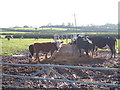
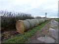
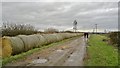
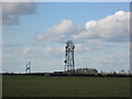
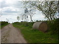
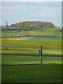
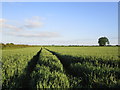
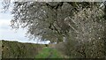
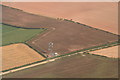
9 photos from this area
Area Information
Key information about the DN22 9NA including its size, population, and administrative classification.
- Area Type
- Postcode
- Area Size
- 80.6 hectares
- Population
- 1824
- Population Density
- 55 people/km²
House Prices in DN22 9NA
24
Properties
£355,222
Average Sold Price
£90,000
Lowest Price
£1,100,000
Highest Price
Showing 24 properties
| Address | Type | Beds | Baths | Last Sale Price | Last Sale Date | |
|---|---|---|---|---|---|---|
| The Coppice, Church Lane, Clarborough, DN22 9NA | Detached | 5 | 4 | £1,100,000 | Jun 2021 | |
| Kirton House, Church Lane, Clarborough, DN22 9NA | Detached | 3 | 1 | £322,000 | Mar 2021 | |
| Church Farm, Church Lane, Clarborough, DN22 9NA | house | - | - | £311,000 | Oct 2017 | |
| The Old Vicarage, Church Lane, Clarborough, DN22 9NA | Detached | 4 | 3 | £540,000 | Aug 2016 | |
| The Pippins, Church Lane, Clarborough, DN22 9NA | Bungalow | 3 | 1 | £185,000 | Mar 2016 | |
| Leylandii, Church Lane, Clarborough, DN22 9NA | Bungalow | 3 | 1 | £244,000 | Dec 2015 | |
| Farndale House, Church Lane, Clarborough, DN22 9NA | Detached | 4 | - | £235,000 | May 2013 | |
| Kirriemuir, Church Lane, Clarborough, DN22 9NA | Bungalow | 3 | 1 | £170,000 | Nov 2009 | |
| Ingledene, Church Lane, Clarborough, DN22 9NA | Detached | 4 | - | £90,000 | Sep 2005 | |
| Manor Farm, Church Lane, Clarborough, DN22 9NA | Detached | 5 | 3 | - | - |
Page 1 of 3
Energy Efficiency in DN22 9NA
Amenities
Schools
| Rank | School | Type | Entry gender | Ages |
|---|
Explore more schools in this area
Go to Schools tabDemographics
Household Size
Two person
most common
Accommodation Type
Houses
most common
Tenure
83
majority
Ethnic Group
White
most common
Religion
N/A
most common
Household Composition
N/A
most common
Age
47
median
Adults (30-64 years)
most common
Household Deprivation
N/A
with no deprivation
NS-SEC
39
in Lower managerial occupations
Explore more demographic insights in this area
Go to Demographics tabPlanning
Planning Constraints
- Flood RiskPremium
- Ramsar Wetland SitesPremium
- Area of Outstanding Natural BeautyPremium
- Protected Nature ReservePremium
- Protected WoodlandPremium