Area Overview for DE75 7GT
Photos of DE75 7GT
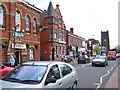
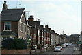
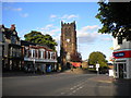
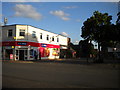

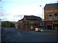
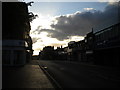
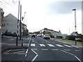

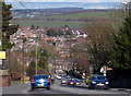
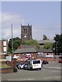
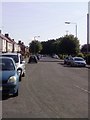
100 photos from this area
Area Information
Key information about the DE75 7GT including its size, population, and administrative classification.
- Area Type
- Postcode
- Area Size
- 7508 m²
- Population
- 1617
- Population Density
- 5312 people/km²
House Prices in DE75 7GT
25
Properties
£84,789
Average Sold Price
£15,750
Lowest Price
£190,000
Highest Price
Showing 25 properties
| Address | Type | Beds | Baths | Last Sale Price | Last Sale Date | |
|---|---|---|---|---|---|---|
| English Churches Housing Group, 90 Burnt House Road, Heanor, DE75 7GT | Terraced | 2 | 1 | £88,000 | May 2025 | |
| 114 Burnt House Road, Heanor, DE75 7GT | Terraced | 2 | 1 | £128,000 | Dec 2024 | |
| 118 Burnt House Road, Heanor, DE75 7GT | Terraced | 3 | 1 | £140,000 | May 2023 | |
| 55 Burnt House Road, Heanor, DE75 7GT | house | - | - | £135,500 | Sep 2022 | |
| 59 Burnt House Road, Heanor, DE75 7GT | house | - | - | £160,000 | Apr 2021 | |
| 120 Burnt House Road, Heanor, DE75 7GT | Bungalow | 4 | 1 | £190,000 | Jan 2020 | |
| 78 Burnt House Road, Heanor, DE75 7GT | Semi-detached | 3 | 1 | £100,000 | Oct 2019 | |
| 100 Burnt House Road, Heanor, DE75 7GT | Semi-detached | 2 | 1 | £90,000 | Dec 2016 | |
| 92 Burnt House Road, Heanor, DE75 7GT | house | 3 | - | £105,000 | Nov 2016 | |
| 94 Burnt House Road, Heanor, DE75 7GT | house | 2 | 1 | £76,500 | Apr 2005 |
Page 1 of 3
Energy Efficiency in DE75 7GT
Amenities
Schools
| Rank | School | Type | Entry gender | Ages |
|---|
Explore more schools in this area
Go to Schools tabDemographics
Household Size
One person
most common
Accommodation Type
Houses
most common
Tenure
43
majority
Ethnic Group
White
most common
Religion
N/A
most common
Household Composition
N/A
most common
Age
47
median
Adults (30-64 years)
most common
Household Deprivation
N/A
with no deprivation
NS-SEC
17
in Lower managerial occupations
Explore more demographic insights in this area
Go to Demographics tabPlanning
Planning Constraints
- Flood RiskPremium
- Ramsar Wetland SitesPremium
- Area of Outstanding Natural BeautyPremium
- Protected Nature ReservePremium
- Protected WoodlandPremium