Area Overview for DE75 7GS
Photos of DE75 7GS
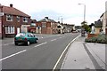
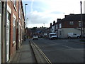

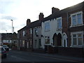
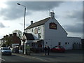


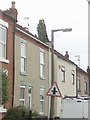
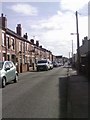

100 photos from this area
Area Information
Key information about the DE75 7GS including its size, population, and administrative classification.
- Area Type
- Postcode
- Area Size
- 1.9 hectares
- Population
- 1590
- Population Density
- 5583 people/km²
House Prices in DE75 7GS
53
Properties
£103,415
Average Sold Price
£32,000
Lowest Price
£360,000
Highest Price
Showing 53 properties
| Address | Type | Beds | Baths | Last Sale Price | Last Sale Date | |
|---|---|---|---|---|---|---|
| 4 Burnt House Road, Heanor, DE75 7GS | Bungalow | 4 | 2 | £360,000 | Oct 2024 | |
| 35 Burnt House Road, Heanor, DE75 7GS | Terraced | 2 | 1 | £123,000 | Sep 2024 | |
| 21 Burnt House Road, Heanor, DE75 7GS | Terraced | 2 | 1 | £118,000 | Sep 2024 | |
| 52 Burnt House Road, Heanor, DE75 7GS | Semi-detached | 2 | - | £175,000 | May 2024 | |
| 49 Burnt House Road, Heanor, DE75 7GS | Detached | 4 | 1 | £205,000 | Mar 2024 | |
| 41 Burnt House Road, Heanor, DE75 7GS | house | - | - | £160,000 | Jul 2023 | |
| 15 Burnt House Road, Heanor, DE75 7GS | Terraced | 3 | 1 | £120,000 | Sep 2022 | |
| 8 Burnt House Road, Heanor, DE75 7GS | house | - | - | £130,000 | Jul 2022 | |
| 50 Burnt House Road, Heanor, DE75 7GS | house | - | - | £135,000 | Jun 2022 | |
| 25 Burnt House Road, Heanor, DE75 7GS | house | - | - | £90,000 | Apr 2022 |
Page 1 of 6
Energy Efficiency in DE75 7GS
Amenities
Schools
| Rank | School | Type | Entry gender | Ages |
|---|
Explore more schools in this area
Go to Schools tabDemographics
Household Size
Two person
most common
Accommodation Type
Houses
most common
Tenure
68
majority
Ethnic Group
White
most common
Religion
N/A
most common
Household Composition
N/A
most common
Age
47
median
Adults (30-64 years)
most common
Household Deprivation
N/A
with no deprivation
NS-SEC
24
in Lower managerial occupations
Explore more demographic insights in this area
Go to Demographics tabPlanning
Planning Constraints
- Flood RiskPremium
- Ramsar Wetland SitesPremium
- Area of Outstanding Natural BeautyPremium
- Protected Nature ReservePremium
- Protected WoodlandPremium