Area Overview for DE65 6NF
Photos of DE65 6NF
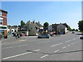
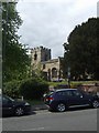
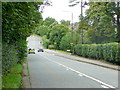
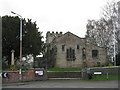
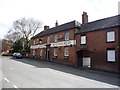
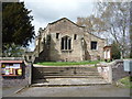
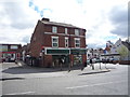
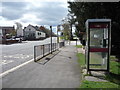
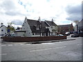
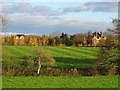
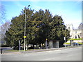
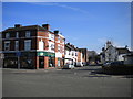
46 photos from this area
Area Information
Key information about the DE65 6NF including its size, population, and administrative classification.
- Area Type
- Postcode
- Area Size
- 2.2 hectares
- Population
- 1764
- Population Density
- 858 people/km²
House Prices in DE65 6NF
32
Properties
£169,206
Average Sold Price
£56,000
Lowest Price
£360,000
Highest Price
Showing 32 properties
| Address | Type | Beds | Baths | Last Sale Price | Last Sale Date | |
|---|---|---|---|---|---|---|
| 35 The Bancroft, Etwall, Derby, DE65 6NF | house | 3 | 1 | £325,000 | Mar 2025 | |
| 74 The Bancroft, Etwall, Derby, DE65 6NF | Semi-detached | 2 | 1 | £280,000 | Dec 2024 | |
| 50 The Bancroft, Etwall, Derby, DE65 6NF | Detached | 4 | 1 | £360,000 | Aug 2024 | |
| 62 The Bancroft, Etwall, Derby, DE65 6NF | Bungalow | - | - | £198,000 | Nov 2022 | |
| 46 The Bancroft, Etwall, Derby, DE65 6NF | house | - | - | £236,000 | Aug 2021 | |
| 60 The Bancroft, Etwall, Derby, DE65 6NF | Bungalow | - | - | £187,000 | Feb 2021 | |
| 64 The Bancroft, Etwall, Derby, DE65 6NF | Semi-detached | 2 | 1 | £150,000 | Jan 2021 | |
| 70 The Bancroft, Etwall, Derby, DE65 6NF | Semi-detached | 2 | 1 | £184,000 | Nov 2020 | |
| 68 The Bancroft, Etwall, Derby, DE65 6NF | Semi-detached | 2 | 1 | £165,000 | Nov 2019 | |
| 59 The Bancroft, Etwall, Derby, DE65 6NF | Bungalow | 3 | - | £165,000 | Dec 2018 |
Page 1 of 4
Energy Efficiency in DE65 6NF
Amenities
Schools
| Rank | School | Type | Entry gender | Ages |
|---|
Explore more schools in this area
Go to Schools tabDemographics
Household Size
Two person
most common
Accommodation Type
Houses
most common
Tenure
75
majority
Ethnic Group
White
most common
Religion
N/A
most common
Household Composition
N/A
most common
Age
47
median
Adults (30-64 years)
most common
Household Deprivation
N/A
with no deprivation
NS-SEC
43
in Lower managerial occupations
Explore more demographic insights in this area
Go to Demographics tabPlanning
Planning Constraints
- Flood RiskPremium
- Ramsar Wetland SitesPremium
- Area of Outstanding Natural BeautyPremium
- Protected Nature ReservePremium
- Protected WoodlandPremium