Area Overview for DE65 6NP
Photos of DE65 6NP
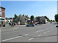
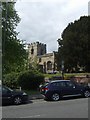
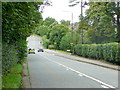
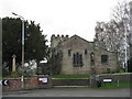
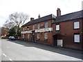
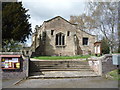
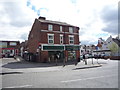
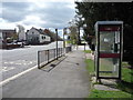
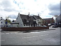
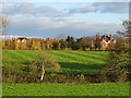
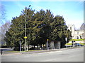
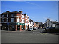
46 photos from this area
Area Information
Key information about the DE65 6NP including its size, population, and administrative classification.
- Area Type
- Postcode
- Area Size
- 23.2 hectares
- Population
- 1858
- Population Density
- 154 people/km²
House Prices in DE65 6NP
61
Properties
£294,188
Average Sold Price
£5,000
Lowest Price
£639,950
Highest Price
Showing 61 properties
| Address | Type | Beds | Baths | Last Sale Price | Last Sale Date | |
|---|---|---|---|---|---|---|
| 44 Egginton Road, Etwall, Derby, DE65 6NP | Detached | 4 | 2 | £225,000 | May 2023 | |
| 95 Egginton Road, Etwall, Derby, DE65 6NP | house | - | - | £605,000 | May 2023 | |
| 99 Egginton Road, Etwall, Derby, DE65 6NP | house | - | - | £639,950 | Mar 2023 | |
| 118 Egginton Road, Etwall, Derby, DE65 6NP | Semi-detached | 3 | 2 | £242,500 | Feb 2022 | |
| 75 Egginton Road, Etwall, Derby, DE65 6NP | Semi-detached | 3 | 2 | £310,000 | Apr 2021 | |
| 102 Egginton Road, Etwall, Derby, DE65 6NP | Semi-detached | 3 | 1 | £245,000 | Sep 2020 | |
| 3 Hollies Court, Etwall, Derby, DE65 6NP | house | - | - | £499,950 | Mar 2020 | |
| 46 Egginton Road, Etwall, Derby, DE65 6NP | Bungalow | 3 | 1 | £5,000 | Jan 2020 | |
| 77 Egginton Road, Etwall, Derby, DE65 6NP | Cottage | 4 | 2 | £497,500 | Dec 2018 | |
| 81 Egginton Road, Etwall, Derby, DE65 6NP | Semi-detached | 5 | 2 | £522,000 | Jul 2018 |
Page 1 of 7
Energy Efficiency in DE65 6NP
Amenities
Schools
| Rank | School | Type | Entry gender | Ages |
|---|
Explore more schools in this area
Go to Schools tabDemographics
Household Size
Two person
most common
Accommodation Type
Houses
most common
Tenure
87
majority
Ethnic Group
White
most common
Religion
N/A
most common
Household Composition
N/A
most common
Age
47
median
Adults (30-64 years)
most common
Household Deprivation
N/A
with no deprivation
NS-SEC
48
in Lower managerial occupations
Explore more demographic insights in this area
Go to Demographics tabPlanning
Planning Constraints
- Flood RiskPremium
- Ramsar Wetland SitesPremium
- Area of Outstanding Natural BeautyPremium
- Protected Nature ReservePremium
- Protected WoodlandPremium