Area Overview for DE56 2UP
Photos of DE56 2UP

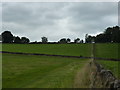
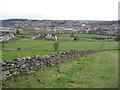
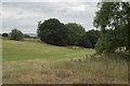
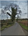
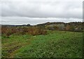
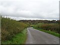
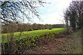
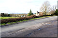
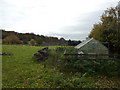
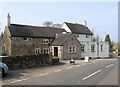
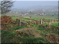
26 photos from this area
Area Information
Key information about the DE56 2UP including its size, population, and administrative classification.
- Area Type
- Postcode
- Area Size
- 67.5 hectares
- Population
- 1600
- Population Density
- 321 people/km²
House Prices in DE56 2UP
42
Properties
£445,984
Average Sold Price
£67,098
Lowest Price
£1,890,155
Highest Price
Showing 42 properties
| Address | Type | Beds | Baths | Last Sale Price | Last Sale Date | |
|---|---|---|---|---|---|---|
| 1, Hazeldene Cottages, Farnah Green, Belper, DE56 2UP | Semi-detached | 2 | 1 | £278,000 | Sep 2023 | |
| Farnah Gate Cottage, Farnah Green, Belper, DE56 2UP | Detached | 1 | 1 | £350,000 | Jul 2023 | |
| 3, Hazeldene Cottages, Farnah Green, Belper, DE56 2UP | house | 2 | - | £290,000 | May 2022 | |
| Beacon Lodge, Farnah Green, Belper, DE56 2UP | Bungalow | 2 | - | £1,890,155 | Dec 2021 | |
| The Firs, Farnah Green, Belper, DE56 2UP | house | - | - | £1,055,000 | Aug 2021 | |
| 2, Hazeldene Cottages, Farnah Green, Belper, DE56 2UP | house | 2 | - | £187,000 | Jun 2021 | |
| Quarry Cottage, Farnah Green, Belper, DE56 2UP | house | - | - | £650,000 | Apr 2021 | |
| Chevin End, Farnah Green, Belper, DE56 2UP | Detached | 6 | 2 | £795,000 | Dec 2020 | |
| Willowcroft, Farnah Green, Belper, DE56 2UP | house | - | - | £320,000 | Jan 2020 | |
| Scraesdon, Farnah Green, Belper, DE56 2UP | Semi-detached | 4 | 2 | £375,000 | Sep 2019 |
Page 1 of 5
Energy Efficiency in DE56 2UP
Amenities
Schools
| Rank | School | Type | Entry gender | Ages |
|---|
Explore more schools in this area
Go to Schools tabDemographics
Household Size
Two person
most common
Accommodation Type
Houses
most common
Tenure
89
majority
Ethnic Group
White
most common
Religion
N/A
most common
Household Composition
N/A
most common
Age
47
median
Adults (30-64 years)
most common
Household Deprivation
N/A
with no deprivation
NS-SEC
42
in Lower managerial occupations
Explore more demographic insights in this area
Go to Demographics tabPlanning
Planning Constraints
- Flood RiskPremium
- Ramsar Wetland SitesPremium
- Area of Outstanding Natural BeautyPremium
- Protected Nature ReservePremium
- Protected WoodlandPremium