Area Overview for DE56 0LS
Photos of DE56 0LS
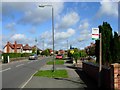
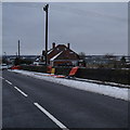
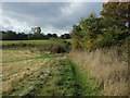
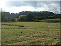
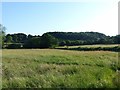
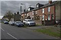
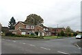
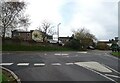
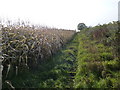
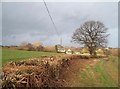
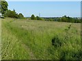
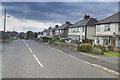
16 photos from this area
Area Information
Key information about the DE56 0LS including its size, population, and administrative classification.
- Area Type
- Postcode
- Area Size
- 99.3 hectares
- Population
- 1745
- Population Density
- 591 people/km²
House Prices in DE56 0LS
39
Properties
£304,217
Average Sold Price
£120,000
Lowest Price
£620,000
Highest Price
Showing 39 properties
| Address | Type | Beds | Baths | Last Sale Price | Last Sale Date | |
|---|---|---|---|---|---|---|
| 15 Killis Lane, Kilburn, Belper, DE56 0LS | house | 3 | - | £269,950 | Jun 2021 | |
| 3 Killis Lane, Kilburn, Belper, DE56 0LS | Detached | 4 | 3 | £435,000 | Nov 2019 | |
| 4 Killis Lane, Kilburn, Belper, DE56 0LS | house | - | - | £292,000 | Nov 2019 | |
| 12 Killis Lane, Kilburn, Belper, DE56 0LS | Detached | 3 | 1 | £136,000 | Mar 2017 | |
| Lockowood Farm, Killis Lane, Kilburn, Belper, DE56 0LS | Detached | 4 | 3 | £620,000 | Jun 2007 | |
| Top Meadow, Killis Lane, Kilburn, Belper, DE56 0LS | Detached | - | - | £395,000 | Jan 2005 | |
| 9 Killis Lane, Kilburn, Belper, DE56 0LS | house | - | - | £305,000 | Jan 2003 | |
| 6 Killis Lane, Kilburn, Belper, DE56 0LS | house | - | - | £120,000 | Mar 2001 | |
| 23 Killis Lane, Kilburn, Belper, DE56 0LS | Detached | - | - | £165,000 | Nov 1998 | |
| 12A Killis Lane, Kilburn, Belper, DE56 0LS | Terraced | 2 | 1 | - | - |
Page 1 of 4
Energy Efficiency in DE56 0LS
Amenities
Schools
| Rank | School | Type | Entry gender | Ages |
|---|
Explore more schools in this area
Go to Schools tabDemographics
Household Size
Two person
most common
Accommodation Type
Houses
most common
Tenure
81
majority
Ethnic Group
White
most common
Religion
N/A
most common
Household Composition
N/A
most common
Age
47
median
Adults (30-64 years)
most common
Household Deprivation
N/A
with no deprivation
NS-SEC
36
in Lower managerial occupations
Explore more demographic insights in this area
Go to Demographics tabPlanning
Planning Constraints
- Flood RiskPremium
- Ramsar Wetland SitesPremium
- Area of Outstanding Natural BeautyPremium
- Protected Nature ReservePremium
- Protected WoodlandPremium