Area Overview for DE55 6GJ
Photos of DE55 6GJ
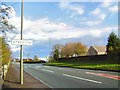
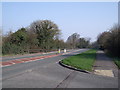
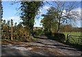
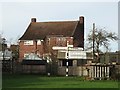
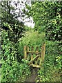
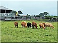
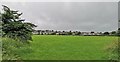
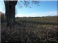
20 photos from this area
Area Information
Key information about the DE55 6GJ including its size, population, and administrative classification.
- Area Type
- Postcode
- Area Size
- 6.1 hectares
- Population
- 1650
- Population Density
- 786 people/km²
House Prices in DE55 6GJ
69
Properties
£107,188
Average Sold Price
£16,000
Lowest Price
£170,000
Highest Price
Showing 69 properties
| Address | Type | Beds | Baths | Last Sale Price | Last Sale Date | |
|---|---|---|---|---|---|---|
| 2 Tennyson Street, Stretton, DE55 6GJ | Semi-detached | 3 | - | £153,000 | Sep 2023 | |
| 10 Tennyson Street, Stretton, DE55 6GJ | house | - | - | £170,000 | Jul 2022 | |
| 32 Tennyson Street, Stretton, DE55 6GJ | house | - | - | £165,000 | Oct 2021 | |
| 2B Tennyson Street, Stretton, DE55 6GJ | Semi-detached | 2 | 1 | £99,000 | Sep 2018 | |
| 2A Tennyson Street, Stretton, DE55 6GJ | house | - | - | £87,000 | Jul 2017 | |
| 4 Tennyson Street, Stretton, DE55 6GJ | Semi-detached | 5 | 2 | £92,500 | Aug 2015 | |
| 24 Tennyson Street, Stretton, DE55 6GJ | Semi-detached | - | - | £75,000 | May 2010 | |
| 34 Tennyson Street, Stretton, DE55 6GJ | Semi-detached | - | - | £16,000 | Feb 1998 | |
| 28 Tennyson Street, Stretton, DE55 6GJ | house | - | - | - | - | |
| 27 Tennyson Street, Stretton, DE55 6GJ | house | - | - | - | - |
Page 1 of 7
Energy Efficiency in DE55 6GJ
Amenities
Schools
| Rank | School | Type | Entry gender | Ages |
|---|
Explore more schools in this area
Go to Schools tabDemographics
Household Size
Two person
most common
Accommodation Type
Houses
most common
Tenure
51
majority
Ethnic Group
White
most common
Religion
N/A
most common
Household Composition
N/A
most common
Age
47
median
Adults (30-64 years)
most common
Household Deprivation
N/A
with no deprivation
NS-SEC
23
in Lower managerial occupations
Explore more demographic insights in this area
Go to Demographics tabPlanning
Planning Constraints
- Flood RiskPremium
- Ramsar Wetland SitesPremium
- Area of Outstanding Natural BeautyPremium
- Protected Nature ReservePremium
- Protected WoodlandPremium