Area Overview for DE55 6FW
Photos of DE55 6FW
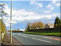
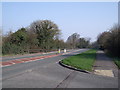
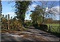
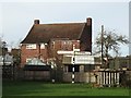
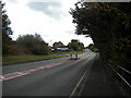
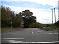
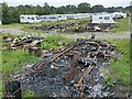
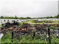
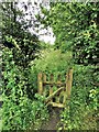
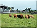
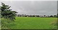
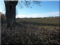
20 photos from this area
Area Information
Key information about the DE55 6FW including its size, population, and administrative classification.
- Area Type
- Postcode
- Area Size
- 7.3 hectares
- Population
- 1650
- Population Density
- 786 people/km²
House Prices in DE55 6FW
24
Properties
£79,361
Average Sold Price
£34,000
Lowest Price
£108,000
Highest Price
Showing 24 properties
| Address | Type | Beds | Baths | Last Sale Price | Last Sale Date | |
|---|---|---|---|---|---|---|
| 7 Mickley Lane, Stretton, DE55 6FW | Semi-detached | 2 | 1 | £95,000 | Mar 2019 | |
| 5 Mickley Lane, Stretton, DE55 6FW | Semi-detached | 2 | 1 | £82,000 | Dec 2015 | |
| 37 Mickley Lane, Stretton, DE55 6FW | house | - | - | £80,000 | Jul 2014 | |
| 23 Mickley Lane, Stretton, DE55 6FW | house | - | - | £77,750 | Nov 2008 | |
| 3 Mickley Lane, Stretton, DE55 6FW | Semi-detached | 5 | - | £92,500 | Jun 2006 | |
| 15 Mickley Lane, Stretton, DE55 6FW | Detached | 2 | 1 | £77,500 | Oct 2005 | |
| 11 Mickley Lane, Stretton, DE55 6FW | Semi-detached | 4 | 1 | £67,500 | Apr 2003 | |
| Fold House Farm, Mickley Lane, Stretton, DE55 6FW | house | - | - | £108,000 | Apr 1997 | |
| 45 Mickley Lane, Stretton, DE55 6FW | house | - | - | £34,000 | Nov 1996 | |
| 1 Mickley Lane, Stretton, DE55 6FW | Bungalow | 2 | 2 | - | - |
Page 1 of 3
Energy Efficiency in DE55 6FW
Amenities
Schools
| Rank | School | Type | Entry gender | Ages |
|---|
Explore more schools in this area
Go to Schools tabDemographics
Household Size
Two person
most common
Accommodation Type
Houses
most common
Tenure
51
majority
Ethnic Group
White
most common
Religion
N/A
most common
Household Composition
N/A
most common
Age
47
median
Adults (30-64 years)
most common
Household Deprivation
N/A
with no deprivation
NS-SEC
23
in Lower managerial occupations
Explore more demographic insights in this area
Go to Demographics tabPlanning
Planning Constraints
- Flood RiskPremium
- Ramsar Wetland SitesPremium
- Area of Outstanding Natural BeautyPremium
- Protected Nature ReservePremium
- Protected WoodlandPremium