Area Overview for DE55 6BA
Photos of DE55 6BA
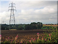
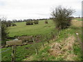
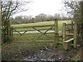
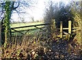
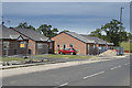
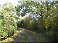
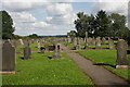
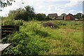
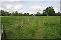
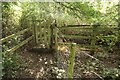
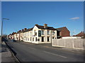
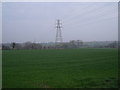
24 photos from this area
Area Information
Key information about the DE55 6BA including its size, population, and administrative classification.
- Area Type
- Postcode
- Area Size
- 9.1 hectares
- Population
- 1706
- Population Density
- 104 people/km²
House Prices in DE55 6BA
71
Properties
£115,835
Average Sold Price
£19,500
Lowest Price
£289,950
Highest Price
Showing 71 properties
| Address | Type | Beds | Baths | Last Sale Price | Last Sale Date | |
|---|---|---|---|---|---|---|
| 133 Main Road, Shirland, DE55 6BA | Terraced | 2 | 1 | £65,000 | Jun 2025 | |
| 131 Main Road, Shirland, DE55 6BA | Terraced | 2 | 1 | £80,000 | Feb 2025 | |
| 152 Main Road, Shirland, DE55 6BA | house | - | - | £192,000 | Jan 2025 | |
| 4, Bevan Court, Main Road, Shirland, DE55 6BA | Terraced | 2 | 1 | £131,000 | Jul 2024 | |
| 141 Main Road, Shirland, DE55 6BA | Terraced | 2 | 1 | £128,000 | Dec 2023 | |
| 128 Main Road, Shirland, DE55 6BA | Bungalow | - | - | £289,950 | Nov 2022 | |
| 159 Main Road, Shirland, DE55 6BA | Retail | 3 | 1 | £155,000 | Nov 2022 | |
| 130 Main Road, Shirland, DE55 6BA | Detached | 2 | 1 | £283,000 | Sep 2021 | |
| 154 Main Road, Shirland, DE55 6BA | house | - | - | £120,000 | May 2021 | |
| 91 Main Road, Shirland, DE55 6BA | Detached | 4 | 2 | £238,000 | Mar 2021 |
Page 1 of 8
Energy Efficiency in DE55 6BA
Amenities
Schools
| Rank | School | Type | Entry gender | Ages |
|---|
Explore more schools in this area
Go to Schools tabDemographics
Household Size
Two person
most common
Accommodation Type
Houses
most common
Tenure
73
majority
Ethnic Group
White
most common
Religion
N/A
most common
Household Composition
N/A
most common
Age
47
median
Adults (30-64 years)
most common
Household Deprivation
N/A
with no deprivation
NS-SEC
36
in Lower managerial occupations
Explore more demographic insights in this area
Go to Demographics tabPlanning
Planning Constraints
- Flood RiskPremium
- Ramsar Wetland SitesPremium
- Area of Outstanding Natural BeautyPremium
- Protected Nature ReservePremium
- Protected WoodlandPremium