Area Overview for DE55 5JS
Photos of DE55 5JS
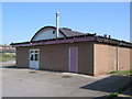
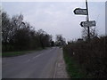
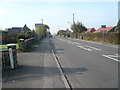
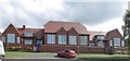
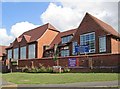
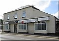
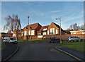
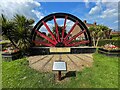
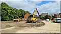
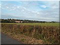
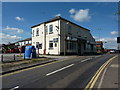
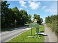
21 photos from this area
Area Information
Key information about the DE55 5JS including its size, population, and administrative classification.
- Area Type
- Postcode
- Area Size
- 8415 m²
- Population
- 1204
- Population Density
- 1050 people/km²
House Prices in DE55 5JS
21
Properties
£114,056
Average Sold Price
£70,000
Lowest Price
£151,000
Highest Price
Showing 21 properties
| Address | Type | Beds | Baths | Last Sale Price | Last Sale Date | |
|---|---|---|---|---|---|---|
| 75 Central Drive, Blackwell, DE55 5JS | house | - | - | £73,000 | Oct 2025 | |
| 12 Central Drive, Blackwell, DE55 5JS | Semi-detached | 3 | 1 | £147,000 | Mar 2024 | |
| 74 Central Drive, Blackwell, DE55 5JS | house | - | - | £150,000 | Nov 2023 | |
| 76 Central Drive, Blackwell, DE55 5JS | Detached | 3 | 1 | £151,000 | Aug 2021 | |
| 90 Central Drive, Blackwell, DE55 5JS | house | - | - | £105,000 | Apr 2021 | |
| 32 Central Drive, Blackwell, DE55 5JS | house | - | - | £124,000 | Feb 2021 | |
| 11 Central Drive, Blackwell, DE55 5JS | Semi-detached | 3 | 1 | £121,500 | Dec 2020 | |
| 50 Central Drive, Blackwell, DE55 5JS | house | - | - | £85,000 | Dec 2010 | |
| 91 Central Drive, Blackwell, DE55 5JS | house | - | - | £70,000 | Feb 2009 | |
| 51 Central Drive, Blackwell, DE55 5JS | Detached | 3 | 1 | - | - |
Page 1 of 3
Energy Efficiency in DE55 5JS
Amenities
Schools
| Rank | School | Type | Entry gender | Ages |
|---|
Explore more schools in this area
Go to Schools tabDemographics
Household Size
Family (3-5 people)
most common
Accommodation Type
Houses
most common
Tenure
64
majority
Ethnic Group
White
most common
Religion
N/A
most common
Household Composition
N/A
most common
Age
47
median
Adults (30-64 years)
most common
Household Deprivation
N/A
with no deprivation
NS-SEC
22
in Lower managerial occupations
Explore more demographic insights in this area
Go to Demographics tabPlanning
Planning Constraints
- Flood RiskPremium
- Ramsar Wetland SitesPremium
- Area of Outstanding Natural BeautyPremium
- Protected Nature ReservePremium
- Protected WoodlandPremium