Area Overview for DE55 5AH
Photos of DE55 5AH
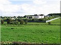
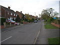
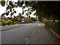
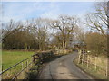
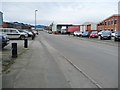
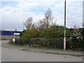
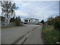
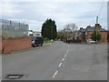
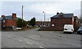
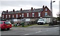
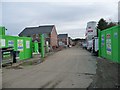
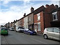
31 photos from this area
Area Information
Key information about the DE55 5AH including its size, population, and administrative classification.
- Area Type
- Postcode
- Area Size
- 36.5 hectares
- Population
- 1706
- Population Density
- 104 people/km²
House Prices in DE55 5AH
52
Properties
£96,813
Average Sold Price
£20,000
Lowest Price
£225,000
Highest Price
Showing 52 properties
| Address | Type | Beds | Baths | Last Sale Price | Last Sale Date | |
|---|---|---|---|---|---|---|
| 53 Alfreton Road, Westhouses, DE55 5AH | Semi-detached | 3 | 1 | £130,000 | Feb 2025 | |
| 39 Alfreton Road, Westhouses, DE55 5AH | Semi-detached | 3 | 1 | £110,000 | Jan 2025 | |
| 44 Alfreton Road, Westhouses, DE55 5AH | Semi-detached | 2 | 1 | £164,950 | Nov 2024 | |
| 42 Alfreton Road, Westhouses, DE55 5AH | Semi-detached | 3 | 1 | £225,000 | Jul 2024 | |
| 47 Alfreton Road, Westhouses, DE55 5AH | house | 3 | 1 | £88,000 | Jun 2024 | |
| 13 Alfreton Road, Westhouses, DE55 5AH | Terraced | 2 | 1 | £102,000 | Jun 2022 | |
| 29 Alfreton Road, Westhouses, DE55 5AH | house | 3 | - | £121,000 | May 2021 | |
| 9 Alfreton Road, Westhouses, DE55 5AH | Terraced | 3 | 1 | £98,000 | Feb 2021 | |
| 41 Alfreton Road, Westhouses, DE55 5AH | Semi-detached | 3 | 1 | £110,000 | Sep 2020 | |
| 48 Alfreton Road, Westhouses, DE55 5AH | Bungalow | 3 | - | £180,000 | Jul 2020 |
Page 1 of 6
Energy Efficiency in DE55 5AH
Amenities
Schools
| Rank | School | Type | Entry gender | Ages |
|---|
Explore more schools in this area
Go to Schools tabDemographics
Household Size
Two person
most common
Accommodation Type
Houses
most common
Tenure
73
majority
Ethnic Group
White
most common
Religion
N/A
most common
Household Composition
N/A
most common
Age
47
median
Adults (30-64 years)
most common
Household Deprivation
N/A
with no deprivation
NS-SEC
36
in Lower managerial occupations
Explore more demographic insights in this area
Go to Demographics tabPlanning
Planning Constraints
- Flood RiskPremium
- Ramsar Wetland SitesPremium
- Area of Outstanding Natural BeautyPremium
- Protected Nature ReservePremium
- Protected WoodlandPremium