Area Overview for DE55 4LS
Photos of DE55 4LS
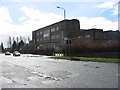
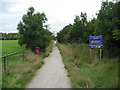
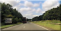
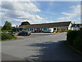
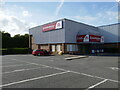
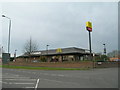
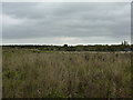
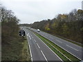
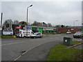

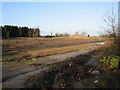
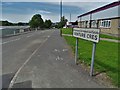
17 photos from this area
Area Information
Key information about the DE55 4LS including its size, population, and administrative classification.
- Area Type
- Postcode
- Area Size
- 26.0 hectares
- Population
- 1398
- Population Density
- 886 people/km²
House Prices in DE55 4LS
17
Properties
£80,365
Average Sold Price
£80,365
Lowest Price
£80,365
Highest Price
Showing 17 properties
| Address | Type | Beds | Baths | Last Sale Price | Last Sale Date | |
|---|---|---|---|---|---|---|
| 6 Wimsey Way, Somercotes, Alfreton, DE55 4LS | undefined | - | - | £80,365 | Nov 2016 | |
| Mobile Catering Unit, Wimsey Way, Somercotes, Alfreton, DE55 4LS | warehouse | - | - | - | - | |
| Eden Tyres, Avbc Unit 52, Wimsey Way, Somercotes, Alfreton, DE55 4LS | warehouse | - | - | - | - | |
| Rpsmod Engines, Avbc Unit 52, Wimsey Way, Somercotes, Alfreton, DE55 4LS | Industrial | - | - | - | - | |
| Toolstation, Unit 46B, Wimsey Way, Somercotes, Alfreton, DE55 4LS | warehouse | - | - | - | - | |
| Eurocell, Unit 46 C, Wimsey Way, Somercotes, Alfreton, DE55 4LS | warehouse | - | - | - | - | |
| Screwfix, Unit 1A, Wimsey Way, Somercotes, Alfreton, DE55 4LS | shop | - | - | - | - | |
| Unit 4A, Wimsey Way, Somercotes, Alfreton, DE55 4LS | Office | - | - | - | - | |
| A K Bryan Mould Engineers Ltd, Avbc Unit 31, Wimsey Way, Somercotes, Alfreton, DE55 4LS | warehouse | - | - | - | - | |
| Ak Bryan Mould Engineers Ltd, Avbc Units 28 And 29, Wimsey Way, Somercotes, Alfreton, DE55 4LS | Industrial | - | - | - | - |
Page 1 of 2
Energy Efficiency in DE55 4LS
Amenities
Schools
| Rank | School | Type | Entry gender | Ages |
|---|
Explore more schools in this area
Go to Schools tabDemographics
Household Size
One person
most common
Accommodation Type
Houses
most common
Tenure
46
majority
Ethnic Group
White
most common
Religion
N/A
most common
Household Composition
N/A
most common
Age
47
median
Adults (30-64 years)
most common
Household Deprivation
N/A
with no deprivation
NS-SEC
15
in Lower managerial occupations
Explore more demographic insights in this area
Go to Demographics tabPlanning
Planning Constraints
- Flood RiskPremium
- Ramsar Wetland SitesPremium
- Area of Outstanding Natural BeautyPremium
- Protected Nature ReservePremium
- Protected WoodlandPremium