Area Overview for DE55 4ES
Photos of DE55 4ES
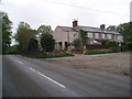
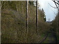
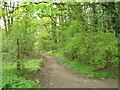
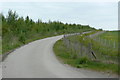
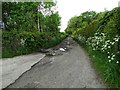
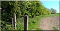
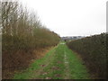
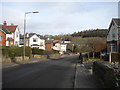
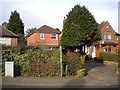
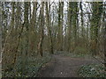
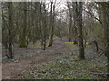
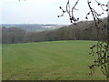
18 photos from this area
Area Information
Key information about the DE55 4ES including its size, population, and administrative classification.
- Area Type
- Postcode
- Area Size
- 93.7 hectares
- Population
- 1470
- Population Density
- 428 people/km²
House Prices in DE55 4ES
64
Properties
£265,027
Average Sold Price
£73,500
Lowest Price
£1,348,000
Highest Price
Showing 64 properties
| Address | Type | Beds | Baths | Last Sale Price | Last Sale Date | |
|---|---|---|---|---|---|---|
| 7 Golden Valley, Riddings, Alfreton, DE55 4ES | house | 3 | 2 | £265,000 | Jul 2025 | |
| 15 Golden Valley, Riddings, Alfreton, DE55 4ES | Terraced | 3 | 1 | £325,000 | Jul 2025 | |
| 10 Golden Valley, Riddings, Alfreton, DE55 4ES | Terraced | 2 | 1 | £200,000 | May 2025 | |
| The Poplars, Golden Valley, Riddings, Alfreton, DE55 4ES | Detached | 4 | 2 | £405,000 | Oct 2024 | |
| 9 Golden Valley, Riddings, Alfreton, DE55 4ES | house | 3 | 1 | £180,000 | Apr 2024 | |
| 6 Golden Valley, Riddings, Alfreton, DE55 4ES | Terraced | 2 | 1 | £200,000 | Apr 2024 | |
| The Old School House, Golden Valley, Riddings, Alfreton, DE55 4ES | Detached | 4 | 4 | £480,000 | Sep 2023 | |
| Willow Cottage, Coach Road, Golden Valley, Alfreton, DE55 4ES | Detached | 7 | 6 | £1,348,000 | Jun 2023 | |
| 14 Golden Valley, Riddings, Alfreton, DE55 4ES | house | 3 | 2 | £195,000 | Dec 2022 | |
| 27 Golden Valley, Riddings, Alfreton, DE55 4ES | Cottage | 3 | 1 | £250,000 | Jun 2022 |
Page 1 of 7
Energy Efficiency in DE55 4ES
Amenities
Schools
| Rank | School | Type | Entry gender | Ages |
|---|
Explore more schools in this area
Go to Schools tabDemographics
Household Size
Two person
most common
Accommodation Type
Houses
most common
Tenure
75
majority
Ethnic Group
White
most common
Religion
N/A
most common
Household Composition
N/A
most common
Age
47
median
Adults (30-64 years)
most common
Household Deprivation
N/A
with no deprivation
NS-SEC
27
in Lower managerial occupations
Explore more demographic insights in this area
Go to Demographics tabPlanning
Planning Constraints
- Flood RiskPremium
- Ramsar Wetland SitesPremium
- Area of Outstanding Natural BeautyPremium
- Protected Nature ReservePremium
- Protected WoodlandPremium