Area Overview for DE4 2EQ
Photos of DE4 2EQ
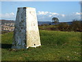
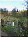
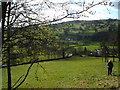
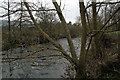
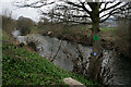
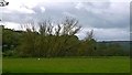
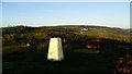
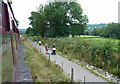
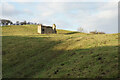
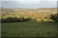
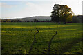
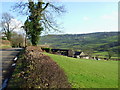
63 photos from this area
Area Information
Key information about the DE4 2EQ including its size, population, and administrative classification.
- Area Type
- Postcode
- Area Size
- 66.6 hectares
- Population
- 1600
- Population Density
- 72 people/km²
House Prices in DE4 2EQ
41
Properties
£199,768
Average Sold Price
£55,000
Lowest Price
£405,000
Highest Price
Showing 41 properties
| Address | Type | Beds | Baths | Last Sale Price | Last Sale Date | |
|---|---|---|---|---|---|---|
| Lindens, Station Road, Darley Dale, DE4 2EQ | Detached | 3 | 1 | £280,000 | Jul 2022 | |
| Longendale, 5 Station Road, Darley Dale, DE4 2EQ | house | - | - | £380,000 | Jan 2022 | |
| Wayside, Station Road, Darley Dale, DE4 2EQ | Semi-detached | 4 | 1 | £325,000 | Feb 2017 | |
| The Bungalow, Station Road, Darley Dale, DE4 2EQ | Bungalow | 2 | 1 | £160,000 | Feb 2015 | |
| Pottersfield House, Station Road, Darley Dale, DE4 2EQ | Detached | - | - | £405,000 | Apr 2012 | |
| Avoca, Station Road, Darley Dale, DE4 2EQ | house | - | - | £180,000 | Mar 2011 | |
| 7 Station Road, Darley Dale, DE4 2EQ | house | - | - | £187,000 | May 2010 | |
| Cranford, Station Road, Darley Dale, DE4 2EQ | Semi-detached | - | - | £305,000 | Nov 2009 | |
| Shirley, Station Road, Darley Dale, DE4 2EQ | Terraced | - | - | £235,000 | Jul 2005 | |
| Brendon, Station Road, Darley Dale, DE4 2EQ | Semi-detached | - | - | £205,000 | Aug 2004 |
Page 1 of 5
Energy Efficiency in DE4 2EQ
Amenities
Schools
| Rank | School | Type | Entry gender | Ages |
|---|
Explore more schools in this area
Go to Schools tabDemographics
Household Size
Two person
most common
Accommodation Type
Houses
most common
Tenure
77
majority
Ethnic Group
White
most common
Religion
N/A
most common
Household Composition
N/A
most common
Age
47
median
Adults (30-64 years)
most common
Household Deprivation
N/A
with no deprivation
NS-SEC
41
in Lower managerial occupations
Explore more demographic insights in this area
Go to Demographics tabPlanning
Planning Constraints
- Flood RiskPremium
- Ramsar Wetland SitesPremium
- Area of Outstanding Natural BeautyPremium
- Protected Nature ReservePremium
- Protected WoodlandPremium