Area Overview for DE4 2BY
Photos of DE4 2BY
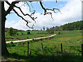
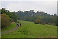
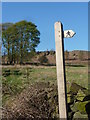
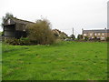
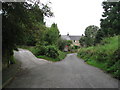
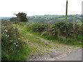
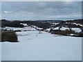
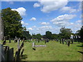
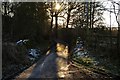
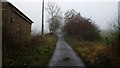
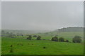
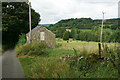
69 photos from this area
Area Information
Key information about the DE4 2BY including its size, population, and administrative classification.
- Area Type
- Postcode
- Area Size
- 18.4 hectares
- Population
- 1600
- Population Density
- 72 people/km²
House Prices in DE4 2BY
11
Properties
£145,450
Average Sold Price
£84,300
Lowest Price
£285,000
Highest Price
Showing 11 properties
| Address | Type | Beds | Baths | Last Sale Price | Last Sale Date | |
|---|---|---|---|---|---|---|
| Laburnum Cottage, Well Street, Elton, DE4 2BY | house | - | - | £90,000 | Apr 2009 | |
| Barncroft, Well Street, Elton, DE4 2BY | Detached | - | - | £285,000 | Jan 2002 | |
| Stonewalls, Well Street, Elton, DE4 2BY | Detached | - | - | £122,500 | Jul 1996 | |
| Well Dale Cottage, Well Street, Elton, DE4 2BY | house | - | - | £84,300 | May 1996 | |
| Old Stones, Well Street, Elton, DE4 2BY | Cottage | 3 | 2 | - | - | |
| End Cottage, Well Street, Elton, DE4 2BY | Terraced | - | - | - | - | |
| Swallow Barn, Well Street, Elton, DE4 2BY | house | - | - | - | - | |
| Glen View, Well Street, Elton, DE4 2BY | Semi-detached | - | - | - | - | |
| Old Rectory, Well Street, Elton, DE4 2BY | Detached | - | - | - | - | |
| Hawthorn Cottage, Well Street, Elton, DE4 2BY | Detached | - | - | - | - |
Page 1 of 2
Energy Efficiency in DE4 2BY
Amenities
Schools
| Rank | School | Type | Entry gender | Ages |
|---|
Explore more schools in this area
Go to Schools tabDemographics
Household Size
Two person
most common
Accommodation Type
Houses
most common
Tenure
77
majority
Ethnic Group
White
most common
Religion
N/A
most common
Household Composition
N/A
most common
Age
47
median
Adults (30-64 years)
most common
Household Deprivation
N/A
with no deprivation
NS-SEC
41
in Lower managerial occupations
Explore more demographic insights in this area
Go to Demographics tabPlanning
Planning Constraints
- Flood RiskPremium
- Ramsar Wetland SitesPremium
- Area of Outstanding Natural BeautyPremium
- Protected Nature ReservePremium
- Protected WoodlandPremium