Area Overview for DE4 2BW
Photos of DE4 2BW
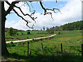
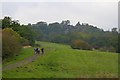
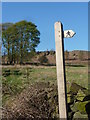
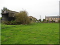
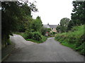
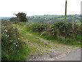
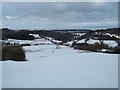
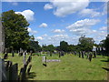
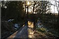
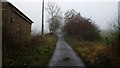
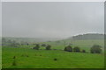
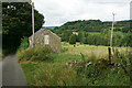
69 photos from this area
Area Information
Key information about the DE4 2BW including its size, population, and administrative classification.
- Area Type
- Postcode
- Area Size
- 4.9 hectares
- Population
- 1600
- Population Density
- 72 people/km²
House Prices in DE4 2BW
45
Properties
£230,403
Average Sold Price
£49,000
Lowest Price
£430,000
Highest Price
Showing 45 properties
| Address | Type | Beds | Baths | Last Sale Price | Last Sale Date | |
|---|---|---|---|---|---|---|
| Swallow Cottage, 7 Main Street, Elton, DE4 2BW | house | 3 | 1 | £280,000 | Aug 2025 | |
| Woodbine House, Main Street, Elton, DE4 2BW | Cottage | 4 | 2 | £430,000 | Nov 2024 | |
| Greengate Farm, Main Street, Elton, DE4 2BW | Cottage | 2 | 1 | £377,000 | Apr 2022 | |
| Home Lea Cottage, Main Street, Elton, DE4 2BW | Cottage | 2 | 2 | £153,501 | Jan 2022 | |
| Spring Farm Cottage, Main Street, Elton, DE4 2BW | house | - | - | £267,000 | Apr 2021 | |
| The Hurst, Main Street, Elton, DE4 2BW | Cottage | 3 | 1 | £237,500 | Sep 2020 | |
| Croft Cottage, Main Street, Elton, DE4 2BW | Cottage | 2 | 1 | £270,000 | Mar 2020 | |
| Ackwood Cottage, Main Street, Elton, DE4 2BW | house | - | - | £123,500 | Dec 2019 | |
| The Villa House, Main Street, Elton, DE4 2BW | Detached | 2 | 1 | £270,000 | Nov 2018 | |
| 2, Archway Cottage, Main Street, Elton, DE4 2BW | Cottage | 2 | 1 | £249,950 | Aug 2012 |
Page 1 of 5
Energy Efficiency in DE4 2BW
Amenities
Schools
| Rank | School | Type | Entry gender | Ages |
|---|
Explore more schools in this area
Go to Schools tabDemographics
Household Size
Two person
most common
Accommodation Type
Houses
most common
Tenure
77
majority
Ethnic Group
White
most common
Religion
N/A
most common
Household Composition
N/A
most common
Age
47
median
Adults (30-64 years)
most common
Household Deprivation
N/A
with no deprivation
NS-SEC
41
in Lower managerial occupations
Explore more demographic insights in this area
Go to Demographics tabPlanning
Planning Constraints
- Flood RiskPremium
- Ramsar Wetland SitesPremium
- Area of Outstanding Natural BeautyPremium
- Protected Nature ReservePremium
- Protected WoodlandPremium