Area Overview for DE24 9AR
Photos of DE24 9AR
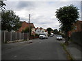
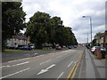
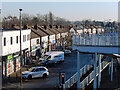
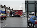
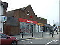
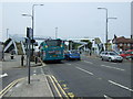
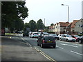
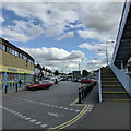
35 photos from this area
Area Information
Key information about the DE24 9AR including its size, population, and administrative classification.
- Area Type
- Postcode
- Area Size
- 6926 m²
- Population
- 1791
- Population Density
- 6053 people/km²
House Prices in DE24 9AR
7
Properties
£119,250
Average Sold Price
£53,000
Lowest Price
£150,000
Highest Price
Showing 7 properties
| Address | Type | Beds | Baths | Last Sale Price | Last Sale Date | |
|---|---|---|---|---|---|---|
| Westdene, Westwood Drive, Derby, DE24 9AR | Detached | - | - | £145,000 | Sep 2021 | |
| Lyndhurst, Westwood Drive, Derby, DE24 9AR | house | - | - | £150,000 | Feb 2019 | |
| Ashtree, Westwood Drive, Derby, DE24 9AR | house | - | - | £129,000 | Jun 2003 | |
| Westwood, Westwood Drive, Derby, DE24 9AR | Detached | - | - | £53,000 | Jul 1997 | |
| Lyndene, 3 Westwood Drive, Derby, DE24 9AR | Bungalow | 2 | 1 | - | - | |
| The Eaves, Westwood Drive, Derby, DE24 9AR | Bungalow | - | - | - | - | |
| Lyndon House, Westwood Drive, Derby, DE24 9AR | Detached | - | - | - | - |
Energy Efficiency in DE24 9AR
Amenities
Schools
| Rank | School | Type | Entry gender | Ages |
|---|
Explore more schools in this area
Go to Schools tabDemographics
Household Size
Family (3-5 people)
most common
Accommodation Type
Houses
most common
Tenure
50
majority
Ethnic Group
White
most common
Religion
N/A
most common
Household Composition
N/A
most common
Age
47
median
Adults (30-64 years)
most common
Household Deprivation
N/A
with no deprivation
NS-SEC
16
in Lower managerial occupations
Explore more demographic insights in this area
Go to Demographics tabPlanning
Planning Constraints
- Flood RiskPremium
- Ramsar Wetland SitesPremium
- Area of Outstanding Natural BeautyPremium
- Protected Nature ReservePremium
- Protected WoodlandPremium