Area Overview for DE24 8RS
Photos of DE24 8RS
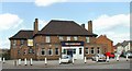
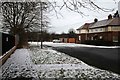
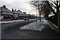
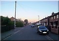
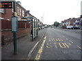
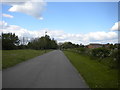
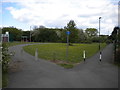
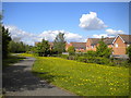
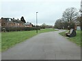
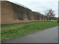
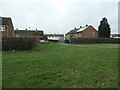
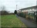
30 photos from this area
Area Information
Key information about the DE24 8RS including its size, population, and administrative classification.
- Area Type
- Postcode
- Area Size
- 6911 m²
- Population
- 1611
- Population Density
- 6005 people/km²
House Prices in DE24 8RS
21
Properties
£79,833
Average Sold Price
£27,000
Lowest Price
£116,000
Highest Price
Showing 21 properties
| Address | Type | Beds | Baths | Last Sale Price | Last Sale Date | |
|---|---|---|---|---|---|---|
| 131 Bower Street, Derby, DE24 8RS | Semi-detached | 1 | 2 | £107,000 | Nov 2021 | |
| 117 Bower Street, Derby, DE24 8RS | Semi-detached | 2 | - | £105,000 | Sep 2018 | |
| 113 Bower Street, Derby, DE24 8RS | Semi-detached | 2 | 1 | £109,000 | Jul 2018 | |
| 123 Bower Street, Derby, DE24 8RS | Semi-detached | 2 | - | £85,000 | Nov 2017 | |
| 109 Bower Street, Derby, DE24 8RS | Semi-detached | 2 | 1 | £88,000 | Jun 2015 | |
| 107 Bower Street, Derby, DE24 8RS | Semi-detached | 2 | 1 | £82,000 | Mar 2015 | |
| 105 Bower Street, Derby, DE24 8RS | Semi-detached | 3 | 1 | £76,000 | Nov 2014 | |
| 122 Bower Street, Derby, DE24 8RS | house | 3 | 1 | £65,000 | Dec 2010 | |
| 119 Bower Street, Derby, DE24 8RS | Semi-detached | 2 | 1 | £53,000 | Nov 2010 | |
| 124 Bower Street, Derby, DE24 8RS | house | 3 | - | £92,000 | Oct 2010 |
Page 1 of 3
Energy Efficiency in DE24 8RS
Amenities
Schools
| Rank | School | Type | Entry gender | Ages |
|---|
Explore more schools in this area
Go to Schools tabDemographics
Household Size
One person
most common
Accommodation Type
Houses
most common
Tenure
46
majority
Ethnic Group
White
most common
Religion
N/A
most common
Household Composition
N/A
most common
Age
47
median
Adults (30-64 years)
most common
Household Deprivation
N/A
with no deprivation
NS-SEC
18
in Lower managerial occupations
Explore more demographic insights in this area
Go to Demographics tabPlanning
Planning Constraints
- Flood RiskPremium
- Ramsar Wetland SitesPremium
- Area of Outstanding Natural BeautyPremium
- Protected Nature ReservePremium
- Protected WoodlandPremium