Area Overview for DE23 8UD
Photos of DE23 8UD
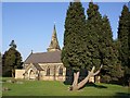
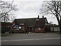
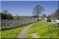
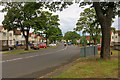
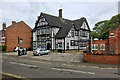
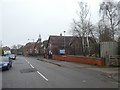
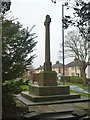
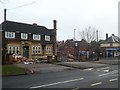
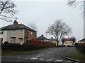
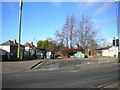
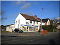
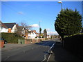
25 photos from this area
Area Information
Key information about the DE23 8UD including its size, population, and administrative classification.
- Area Type
- Postcode
- Area Size
- 6238 m²
- Population
- 2091
- Population Density
- 5020 people/km²
House Prices in DE23 8UD
15
Properties
£136,636
Average Sold Price
£90,000
Lowest Price
£225,000
Highest Price
Showing 15 properties
| Address | Type | Beds | Baths | Last Sale Price | Last Sale Date | |
|---|---|---|---|---|---|---|
| 68 Derby Lane, Derby, DE23 8UD | Semi-detached | 3 | 1 | £225,000 | Jun 2023 | |
| Bank View, 66 Derby Lane, Derby, DE23 8UD | house | 3 | - | £165,000 | Mar 2022 | |
| 55 Derby Lane, Derby, DE23 8UD | house | - | - | £90,000 | Jan 2022 | |
| 72 Derby Lane, Derby, DE23 8UD | Detached | 3 | 1 | £147,500 | Aug 2019 | |
| 70 Derby Lane, Derby, DE23 8UD | house | - | - | £130,000 | Apr 2019 | |
| 51 Derby Lane, Derby, DE23 8UD | Semi-detached | 3 | 1 | £132,500 | Dec 2018 | |
| 57 Derby Lane, Derby, DE23 8UD | Semi-detached | 3 | 1 | £149,000 | Mar 2018 | |
| 65 Derby Lane, Derby, DE23 8UD | house | - | - | £90,000 | May 2015 | |
| 53 Derby Lane, Derby, DE23 8UD | Semi-detached | 3 | - | £114,000 | Feb 2015 | |
| 49 Derby Lane, Derby, DE23 8UD | Semi-detached | 3 | - | £108,000 | Jun 2014 |
Page 1 of 2
Energy Efficiency in DE23 8UD
Amenities
Schools
| Rank | School | Type | Entry gender | Ages |
|---|
Explore more schools in this area
Go to Schools tabDemographics
Household Size
Family (3-5 people)
most common
Accommodation Type
Houses
most common
Tenure
47
majority
Ethnic Group
White
most common
Religion
N/A
most common
Household Composition
N/A
most common
Age
47
median
Adults (30-64 years)
most common
Household Deprivation
N/A
with no deprivation
NS-SEC
15
in Lower managerial occupations
Explore more demographic insights in this area
Go to Demographics tabPlanning
Planning Constraints
- Flood RiskPremium
- Ramsar Wetland SitesPremium
- Area of Outstanding Natural BeautyPremium
- Protected Nature ReservePremium
- Protected WoodlandPremium