Area Overview for DE23 8DF
Photos of DE23 8DF
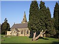
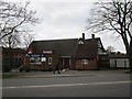
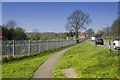
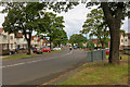
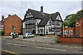
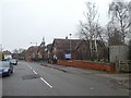
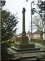
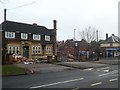
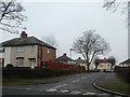
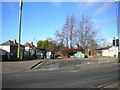
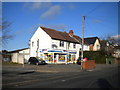
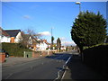
25 photos from this area
Area Information
Key information about the DE23 8DF including its size, population, and administrative classification.
- Area Type
- Postcode
- Area Size
- 3.5 hectares
- Population
- 2091
- Population Density
- 5020 people/km²
House Prices in DE23 8DF
20
Properties
£170,636
Average Sold Price
£96,000
Lowest Price
£245,000
Highest Price
Showing 20 properties
| Address | Type | Beds | Baths | Last Sale Price | Last Sale Date | |
|---|---|---|---|---|---|---|
| 98 Village Street, Derby, DE23 8DF | house | - | - | £138,000 | Aug 2025 | |
| 120 Village Street, Derby, DE23 8DF | house | - | - | £245,000 | Apr 2024 | |
| 118 Village Street, Derby, DE23 8DF | house | - | - | £230,000 | Oct 2022 | |
| 114 Village Street, Derby, DE23 8DF | Detached | 3 | 1 | £210,000 | Dec 2021 | |
| 173 Village Street, Derby, DE23 8DF | Terraced | 3 | 2 | £215,000 | Nov 2020 | |
| 108 Village Street, Derby, DE23 8DF | Semi-detached | 3 | 2 | £175,000 | Jul 2020 | |
| 169 Village Street, Derby, DE23 8DF | house | - | - | £191,000 | Oct 2019 | |
| 171 Village Street, Derby, DE23 8DF | house | - | - | £131,000 | Jan 2018 | |
| 100 Village Street, Derby, DE23 8DF | Detached | 4 | - | £96,000 | Aug 2011 | |
| 167 Village Street, Derby, DE23 8DF | house | - | - | £120,000 | Aug 2007 |
Page 1 of 2
Energy Efficiency in DE23 8DF
Amenities
Schools
| Rank | School | Type | Entry gender | Ages |
|---|
Explore more schools in this area
Go to Schools tabDemographics
Household Size
Family (3-5 people)
most common
Accommodation Type
Houses
most common
Tenure
47
majority
Ethnic Group
White
most common
Religion
N/A
most common
Household Composition
N/A
most common
Age
47
median
Adults (30-64 years)
most common
Household Deprivation
N/A
with no deprivation
NS-SEC
15
in Lower managerial occupations
Explore more demographic insights in this area
Go to Demographics tabPlanning
Planning Constraints
- Flood RiskPremium
- Ramsar Wetland SitesPremium
- Area of Outstanding Natural BeautyPremium
- Protected Nature ReservePremium
- Protected WoodlandPremium