Area Overview for DE23 8TG
Photos of DE23 8TG
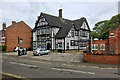
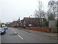
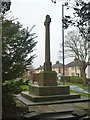
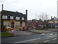
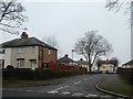
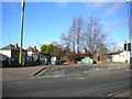
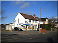
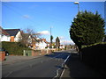
25 photos from this area
Area Information
Key information about the DE23 8TG including its size, population, and administrative classification.
- Area Type
- Postcode
- Area Size
- 9446 m²
- Population
- 2570
- Population Density
- 11587 people/km²
House Prices in DE23 8TG
41
Properties
£90,098
Average Sold Price
£13,500
Lowest Price
£225,000
Highest Price
Showing 41 properties
| Address | Type | Beds | Baths | Last Sale Price | Last Sale Date | |
|---|---|---|---|---|---|---|
| 142 Randolph Road, Derby, DE23 8TG | Semi-detached | 3 | 1 | £160,000 | Sep 2024 | |
| 153 Randolph Road, Derby, DE23 8TG | house | - | - | £60,000 | Feb 2024 | |
| 161 Randolph Road, Derby, DE23 8TG | house | - | - | £98,000 | Aug 2023 | |
| 147 Randolph Road, Derby, DE23 8TG | house | - | - | £85,000 | Oct 2022 | |
| 137 Randolph Road, Derby, DE23 8TG | Detached | 3 | 2 | £225,000 | Jul 2022 | |
| 173 Randolph Road, Derby, DE23 8TG | Terraced | 3 | 1 | £125,555 | Apr 2022 | |
| 159 Randolph Road, Derby, DE23 8TG | house | - | - | £70,000 | Jan 2022 | |
| 140 Randolph Road, Derby, DE23 8TG | Semi-detached | 6 | 1 | £207,000 | Jan 2021 | |
| 149 Randolph Road, Derby, DE23 8TG | house | 2 | - | £78,000 | Jul 2019 | |
| 139 Randolph Road, Derby, DE23 8TG | Semi-detached | 3 | 1 | £105,000 | Feb 2018 |
Page 1 of 5
Energy Efficiency in DE23 8TG
Amenities
Schools
| Rank | School | Type | Entry gender | Ages |
|---|
Explore more schools in this area
Go to Schools tabDemographics
Household Size
Family (3-5 people)
most common
Accommodation Type
Houses
most common
Tenure
41
majority
Ethnic Group
asian_total
most common
Religion
N/A
most common
Household Composition
N/A
most common
Age
22
median
Adults (30-64 years)
most common
Household Deprivation
N/A
with no deprivation
NS-SEC
12
in Lower managerial occupations
Explore more demographic insights in this area
Go to Demographics tabPlanning
Planning Constraints
- Flood RiskPremium
- Ramsar Wetland SitesPremium
- Area of Outstanding Natural BeautyPremium
- Protected Nature ReservePremium
- Protected WoodlandPremium