Area Overview for DE23 8FB
Photos of DE23 8FB
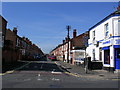
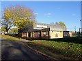
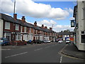
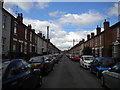
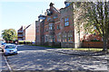
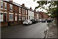
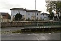
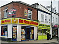
43 photos from this area
Area Information
Key information about the DE23 8FB including its size, population, and administrative classification.
- Area Type
- Postcode
- Area Size
- 7501 m²
- Population
- 2183
- Population Density
- 10970 people/km²
House Prices in DE23 8FB
24
Properties
£51,245
Average Sold Price
£12,000
Lowest Price
£102,000
Highest Price
Showing 24 properties
| Address | Type | Beds | Baths | Last Sale Price | Last Sale Date | |
|---|---|---|---|---|---|---|
| 24 Whitaker Street, Derby, DE23 8FB | Terraced | 3 | - | £100,000 | Jun 2017 | |
| 36 Whitaker Street, Derby, DE23 8FB | Terraced | 2 | - | £90,000 | Feb 2016 | |
| 35 Whitaker Street, Derby, DE23 8FB | house | - | - | £102,000 | Sep 2010 | |
| 20 Whitaker Street, Derby, DE23 8FB | house | 5 | - | £68,000 | Apr 2008 | |
| 32 Whitaker Street, Derby, DE23 8FB | Terraced | - | - | £54,000 | Jan 2006 | |
| 17 Whitaker Street, Derby, DE23 8FB | house | - | - | £54,000 | Jul 2003 | |
| 25 Whitaker Street, Derby, DE23 8FB | house | - | - | £30,000 | Jan 2003 | |
| 19 Whitaker Street, Derby, DE23 8FB | house | 2 | - | £23,000 | Jun 2002 | |
| 22 Whitaker Street, Derby, DE23 8FB | house | - | - | £18,200 | Aug 2001 | |
| 30 Whitaker Street, Derby, DE23 8FB | house | - | - | £12,500 | Jun 1999 |
Page 1 of 3
Energy Efficiency in DE23 8FB
Amenities
Schools
| Rank | School | Type | Entry gender | Ages |
|---|
Explore more schools in this area
Go to Schools tabDemographics
Household Size
Family (3-5 people)
most common
Accommodation Type
Houses
most common
Tenure
34
majority
Ethnic Group
asian_total
most common
Religion
N/A
most common
Household Composition
N/A
most common
Age
47
median
Adults (30-64 years)
most common
Household Deprivation
N/A
with no deprivation
NS-SEC
11
in Lower managerial occupations
Explore more demographic insights in this area
Go to Demographics tabPlanning
Planning Constraints
- Flood RiskPremium
- Ramsar Wetland SitesPremium
- Area of Outstanding Natural BeautyPremium
- Protected Nature ReservePremium
- Protected WoodlandPremium