Area Overview for DE23 8AX
Photos of DE23 8AX
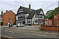
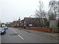
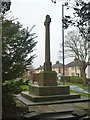
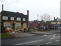
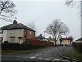
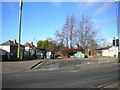
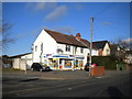
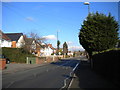
25 photos from this area
Area Information
Key information about the DE23 8AX including its size, population, and administrative classification.
- Area Type
- Postcode
- Area Size
- 1.0 hectares
- Population
- 2126
- Population Density
- 5847 people/km²
House Prices in DE23 8AX
66
Properties
£82,181
Average Sold Price
£31,000
Lowest Price
£134,000
Highest Price
Showing 66 properties
| Address | Type | Beds | Baths | Last Sale Price | Last Sale Date | |
|---|---|---|---|---|---|---|
| 83 Blackmore Street, Derby, DE23 8AX | Terraced | 2 | 1 | £134,000 | Oct 2024 | |
| 103 Blackmore Street, Derby, DE23 8AX | house | - | - | £89,000 | Apr 2021 | |
| 98 Blackmore Street, Derby, DE23 8AX | Semi-detached | 3 | 1 | £100,000 | Jan 2020 | |
| 89 Blackmore Street, Derby, DE23 8AX | Semi-detached | 3 | 1 | £72,500 | Nov 2017 | |
| 91 Blackmore Street, Derby, DE23 8AX | house | 3 | 1 | £84,000 | Jul 2016 | |
| 82 Blackmore Street, Derby, DE23 8AX | house | - | - | £82,000 | Aug 2004 | |
| 92 Blackmore Street, Derby, DE23 8AX | house | - | - | £64,950 | Mar 2004 | |
| 101 Blackmore Street, Derby, DE23 8AX | house | - | - | £31,000 | Oct 2001 | |
| 78 Blackmore Street, Derby, DE23 8AX | Terraced | 2 | 1 | - | - | |
| 104 Blackmore Street, Derby, DE23 8AX | Flat | - | - | - | - |
Page 1 of 7
Energy Efficiency in DE23 8AX
Amenities
Schools
| Rank | School | Type | Entry gender | Ages |
|---|
Explore more schools in this area
Go to Schools tabDemographics
Household Size
Family (3-5 people)
most common
Accommodation Type
Houses
most common
Tenure
34
majority
Ethnic Group
White
most common
Religion
N/A
most common
Household Composition
N/A
most common
Age
47
median
Adults (30-64 years)
most common
Household Deprivation
N/A
with no deprivation
NS-SEC
15
in Lower managerial occupations
Explore more demographic insights in this area
Go to Demographics tabPlanning
Planning Constraints
- Flood RiskPremium
- Ramsar Wetland SitesPremium
- Area of Outstanding Natural BeautyPremium
- Protected Nature ReservePremium
- Protected WoodlandPremium