Area Overview for DE23 3XS
Photos of DE23 3XS
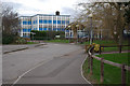
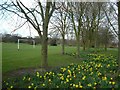
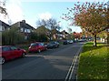
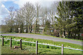
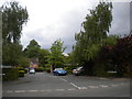
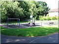
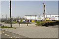
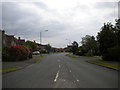
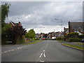
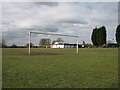
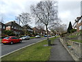
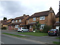
24 photos from this area
Area Information
Key information about the DE23 3XS including its size, population, and administrative classification.
- Area Type
- Postcode
- Area Size
- 2.1 hectares
- Population
- 1876
- Population Density
- 1725 people/km²
House Prices in DE23 3XS
10
Properties
£272,135
Average Sold Price
£95,950
Lowest Price
£492,000
Highest Price
Showing 10 properties
| Address | Type | Beds | Baths | Last Sale Price | Last Sale Date | |
|---|---|---|---|---|---|---|
| 1 Barnhill Grove, Derby, DE23 3XS | house | 4 | 2 | £490,000 | Feb 2024 | |
| 12 Barnhill Grove, Derby, DE23 3XS | house | - | - | £492,000 | Nov 2022 | |
| 10 Barnhill Grove, Derby, DE23 3XS | Detached | 5 | 1 | £378,000 | Oct 2020 | |
| 6 Barnhill Grove, Derby, DE23 3XS | house | 5 | - | £294,000 | Jul 2013 | |
| 7 Barnhill Grove, Derby, DE23 3XS | house | 4 | - | £306,000 | Mar 2012 | |
| 8 Barnhill Grove, Derby, DE23 3XS | house | 5 | - | £340,000 | Oct 2011 | |
| 5 Barnhill Grove, Derby, DE23 3XS | house | - | - | £112,500 | Jun 1999 | |
| 2 Barnhill Grove, Derby, DE23 3XS | house | - | - | £116,950 | Sep 1997 | |
| 3 Barnhill Grove, Derby, DE23 3XS | house | - | - | £95,950 | May 1997 | |
| 4 Barnhill Grove, Derby, DE23 3XS | house | - | - | £95,950 | May 1997 |
Energy Efficiency in DE23 3XS
Amenities
Schools
| Rank | School | Type | Entry gender | Ages |
|---|
Explore more schools in this area
Go to Schools tabDemographics
Household Size
Family (3-5 people)
most common
Accommodation Type
Houses
most common
Tenure
87
majority
Ethnic Group
White
most common
Religion
N/A
most common
Household Composition
N/A
most common
Age
47
median
Adults (30-64 years)
most common
Household Deprivation
N/A
with no deprivation
NS-SEC
48
in Lower managerial occupations
Explore more demographic insights in this area
Go to Demographics tabPlanning
Planning Constraints
- Flood RiskPremium
- Ramsar Wetland SitesPremium
- Area of Outstanding Natural BeautyPremium
- Protected Nature ReservePremium
- Protected WoodlandPremium