Area Overview for DE21 6ZF
Photos of DE21 6ZF
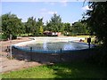
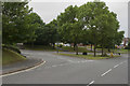
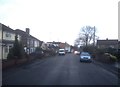
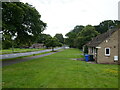
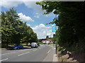
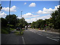
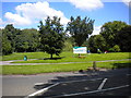
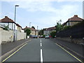
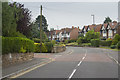
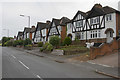
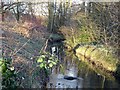
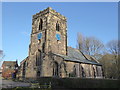
14 photos from this area
Area Information
Key information about the DE21 6ZF including its size, population, and administrative classification.
- Area Type
- Postcode
- Area Size
- 8347 m²
- Population
- 1556
- Population Density
- 3571 people/km²
House Prices in DE21 6ZF
18
Properties
£153,742
Average Sold Price
£50,000
Lowest Price
£223,000
Highest Price
Showing 18 properties
| Address | Type | Beds | Baths | Last Sale Price | Last Sale Date | |
|---|---|---|---|---|---|---|
| 20 Jasmine Close, Derby, DE21 6ZF | house | - | - | £215,000 | Oct 2023 | |
| 18 Jasmine Close, Derby, DE21 6ZF | Bungalow | - | - | £215,000 | Dec 2022 | |
| 10 Jasmine Close, Derby, DE21 6ZF | house | - | - | £223,000 | Mar 2020 | |
| 3 Jasmine Close, Derby, DE21 6ZF | Bungalow | - | - | £187,000 | Nov 2019 | |
| 2 Jasmine Close, Derby, DE21 6ZF | Detached | 3 | 1 | £160,000 | Jan 2018 | |
| 13 Jasmine Close, Derby, DE21 6ZF | Detached | 3 | 1 | £185,000 | Dec 2017 | |
| 5 Jasmine Close, Derby, DE21 6ZF | house | - | - | £184,500 | Nov 2017 | |
| 1 Jasmine Close, Derby, DE21 6ZF | Bungalow | 2 | 1 | £139,000 | Aug 2017 | |
| 6 Jasmine Close, Derby, DE21 6ZF | house | - | - | £169,950 | Sep 2016 | |
| 12 Jasmine Close, Derby, DE21 6ZF | Detached | - | - | £57,000 | Jan 1998 |
Page 1 of 2
Energy Efficiency in DE21 6ZF
Amenities
Schools
| Rank | School | Type | Entry gender | Ages |
|---|
Explore more schools in this area
Go to Schools tabDemographics
Household Size
Two person
most common
Accommodation Type
Houses
most common
Tenure
89
majority
Ethnic Group
White
most common
Religion
N/A
most common
Household Composition
N/A
most common
Age
47
median
Adults (30-64 years)
most common
Household Deprivation
N/A
with no deprivation
NS-SEC
29
in Lower managerial occupations
Explore more demographic insights in this area
Go to Demographics tabPlanning
Planning Constraints
- Flood RiskPremium
- Ramsar Wetland SitesPremium
- Area of Outstanding Natural BeautyPremium
- Protected Nature ReservePremium
- Protected WoodlandPremium