Area Overview for DE12 7QH
Photos of DE12 7QH
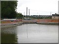
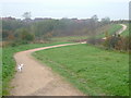
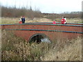
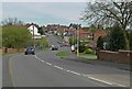
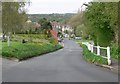
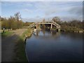
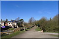
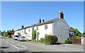
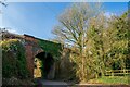
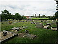
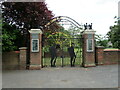
68 photos from this area
Area Information
Key information about the DE12 7QH including its size, population, and administrative classification.
- Area Type
- Postcode
- Area Size
- 1.2 hectares
- Population
- 1522
- Population Density
- 336 people/km²
House Prices in DE12 7QH
32
Properties
£89,250
Average Sold Price
£25,000
Lowest Price
£140,000
Highest Price
Showing 32 properties
| Address | Type | Beds | Baths | Last Sale Price | Last Sale Date | |
|---|---|---|---|---|---|---|
| 23 Ivy Close, Donisthorpe, DE12 7QH | Flat | 2 | 1 | £140,000 | Dec 2025 | |
| 13 Ivy Close, Donisthorpe, DE12 7QH | Maisonette | - | - | £116,000 | Oct 2022 | |
| 18 Ivy Close, Donisthorpe, DE12 7QH | Flat | 2 | 1 | £110,000 | Mar 2021 | |
| 22 Ivy Close, Donisthorpe, DE12 7QH | Maisonette | 2 | 1 | £90,000 | Aug 2008 | |
| 16 Ivy Close, Donisthorpe, DE12 7QH | Semi-detached | - | - | £68,000 | Apr 2008 | |
| 14 Ivy Close, Donisthorpe, DE12 7QH | Semi-detached | - | - | £90,000 | Sep 2007 | |
| 31 Ivy Close, Donisthorpe, DE12 7QH | Flat | - | - | £75,000 | Apr 2007 | |
| 9 Ivy Close, Donisthorpe, DE12 7QH | Terraced | - | - | £25,000 | Nov 1998 | |
| 21 Ivy Close, Donisthorpe, DE12 7QH | Maisonette | 2 | 1 | - | - | |
| 28 Ivy Close, Donisthorpe, DE12 7QH | Flat | - | - | - | - |
Page 1 of 4
Energy Efficiency in DE12 7QH
Amenities
Schools
| Rank | School | Type | Entry gender | Ages |
|---|
Explore more schools in this area
Go to Schools tabDemographics
Household Size
Two person
most common
Accommodation Type
Houses
most common
Tenure
78
majority
Ethnic Group
White
most common
Religion
N/A
most common
Household Composition
N/A
most common
Age
47
median
Adults (30-64 years)
most common
Household Deprivation
N/A
with no deprivation
NS-SEC
38
in Lower managerial occupations
Explore more demographic insights in this area
Go to Demographics tabPlanning
Planning Constraints
- Flood RiskPremium
- Ramsar Wetland SitesPremium
- Area of Outstanding Natural BeautyPremium
- Protected Nature ReservePremium
- Protected WoodlandPremium