Area Overview for CV13 0QH
Photos of CV13 0QH
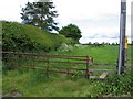
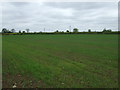
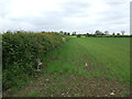
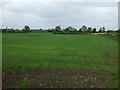
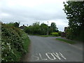
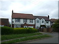
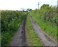
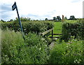
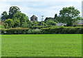
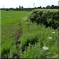
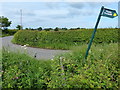
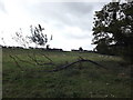
14 photos from this area
Area Information
Key information about the CV13 0QH including its size, population, and administrative classification.
- Area Type
- Postcode
- Area Size
- 27.4 hectares
- Population
- 1682
- Population Density
- 116 people/km²
House Prices in CV13 0QH
33
Properties
£232,812
Average Sold Price
£75,000
Lowest Price
£617,000
Highest Price
Showing 33 properties
| Address | Type | Beds | Baths | Last Sale Price | Last Sale Date | |
|---|---|---|---|---|---|---|
| 23 Church Road, Nailstone, CV13 0QH | Terraced | - | - | £175,000 | Nov 2023 | |
| Carinya, 52 Church Road, Nailstone, CV13 0QH | Bungalow | - | - | £490,000 | Feb 2023 | |
| 61 Church Road, Nailstone, CV13 0QH | Semi-detached | 3 | 1 | £370,000 | Sep 2022 | |
| 67 Church Road, Nailstone, CV13 0QH | house | - | - | £289,999 | Jun 2021 | |
| 27 Church Road, Nailstone, CV13 0QH | Bungalow | 4 | 3 | £617,000 | Nov 2019 | |
| The Hollies, 41 Church Road, Nailstone, CV13 0QH | Bungalow | - | - | £445,000 | Feb 2018 | |
| 65 Church Road, Nailstone, CV13 0QH | Terraced | 3 | 1 | £205,000 | Sep 2015 | |
| 54 Church Road, Nailstone, CV13 0QH | Cottage | 2 | 1 | £115,000 | Jun 2012 | |
| 63 Church Road, Nailstone, CV13 0QH | house | 2 | 1 | £105,000 | Oct 2010 | |
| 3 Church Road, Nailstone, CV13 0QH | Cottage | 2 | 1 | £75,000 | Jun 2009 |
Page 1 of 4
Energy Efficiency in CV13 0QH
Amenities
Schools
| Rank | School | Type | Entry gender | Ages |
|---|
Explore more schools in this area
Go to Schools tabDemographics
Household Size
Two person
most common
Accommodation Type
Houses
most common
Tenure
69
majority
Ethnic Group
White
most common
Religion
N/A
most common
Household Composition
N/A
most common
Age
47
median
Adults (30-64 years)
most common
Household Deprivation
N/A
with no deprivation
NS-SEC
32
in Lower managerial occupations
Explore more demographic insights in this area
Go to Demographics tabPlanning
Planning Constraints
- Flood RiskPremium
- Ramsar Wetland SitesPremium
- Area of Outstanding Natural BeautyPremium
- Protected Nature ReservePremium
- Protected WoodlandPremium