Building
Built 1976–1982.
Mid-Terrace House
This is not a sales listing. Propbar data is compiled for informational purposes.
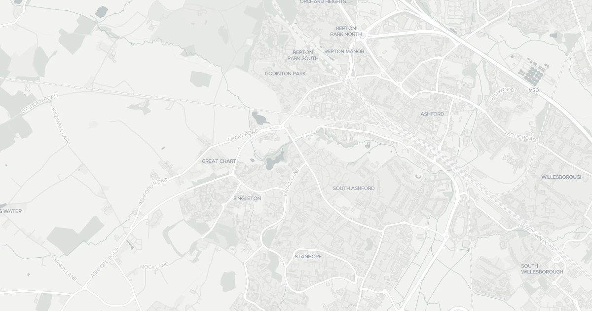
Applications around this property, plus toggleable planning constraints — LPA boundary, AONB, protected woodlands and scenic landscapes.
No planning applications recorded for this address in the last 5 years.
No planning applications on record for this address in the last 5 years.
7 nearby planning applications, newest first.
Worth knowing — 1 commercial planned within 1km, which can change the outlook here. Alongside 6 routine home improvements.
First floor front extension with addition of cladding.
Pending DecisionProposed first floor side extension and single storey front exention
Pending DecisionLawful development certificate - proposed - construction of an outbuilding for use as a dog grooming business
Pending DecisionSingle storey rear extension with roof lantern and changes to first floor fenestration on the rear elevation; following demolition of the existing conservatory and removal of raised decking
Pending DecisionSingle Storey Rear Extension, to include the extension and change in material of driveway to brick paving. (Retrospective)
Pending DecisionSingle storey side extension (retrospective)
Pending DecisionSection 73 Application to vary Condition 18 of planning permission AS/17/243 to permit additional operation times between 08.00 and 18.00 hrs on the Wednesdays of each week from 1 May 2021 to 31 October 2021
Pending DecisionMajor schemes can change the outlook from this property. Your conveyancer's search will confirm live applications.
Source: Planning register, via Vepler Planning. This does not replace an official Local Authority Search (LLC1/CON29).
A six-bedroom semidetached at 7 Eggringe in Kent (TN23 4XT). It offers three bathrooms and around 118 m² of floor space. The property holds an EPC rating of C and dates from 1976–1982. Land Registry records a sale at £54,000 in June 1997. Nearby shops include Co-op Brookfield, Morrisons Daily, The Southern Co-operative Co and Waitrose Ashford, the closest about 604 m away. The nearest stations are Ashford International Railway Station, Wye Railway Station and Pluckley Railway Station, around 1.9 km away. Broadband coverage in the area is excellent and mobile coverage is strong. The Environment Agency records no modelled flood risk at this address.
Last Asking Price
£340,000
Last on market 7 years ago
Propbar's Valuation Beta
£XXX
Range £XXX – £XXX
Price position
Price per sq ft
£XXX
Based on 1,270 ft²
Last Sold
£340,000
Sold November 2019
Market Timeline
—
Not currently listed
Times Listed
1 listing
First listing
Last Asking Rent
—
Not currently listed
Propbar's Valuation Beta
£XXX pcm
Range £XXX – £XXX pcm
Rent position
Gross Yield
X.X%
Annual return rate
Last Let
—
No record
Days on Market
—
Not currently listed
Times Listed
—
No history
1 of 12sections reviewed
Built 1976–1982.
Freehold confirmed by HM Land Registry. Unlock to reveal owner, charges and restrictions.
Listing history, price moves and time on market for this address.
Sold prices, sales volumes and market pace for TN23 over the last 24 months.
Nothing on record for this property. See what's being applied for and built around it.
Assessed: no modelled flood risk at this address.
What band C means for your bills, rental rules and upgrade headroom.
Safety score for TN23 4XT, the recent trend and offence-by-offence breakdown.
Pollutant levels, the official index and health context for this address.
Where TN23 4XT sits on the national prosperity ladder, and what drives it.
Admission chances, ratings and catchment status for 32 schools nearby.
2 essentials within 15 min walk · 5 transport links nearby
We use cookies to provide you with the best experience. By continuing, you agree to our Cookie Policy .