Building
Built 1976–1982.
End-Of-Terrace House
This is not a sales listing. Propbar data is compiled for informational purposes.
Rivers & sea
Not modelled
No rivers or sea risk modelled here
Surface water
Low
Extreme hazard rating
Climate 2080
Not projected
No 2080 projection available
Flood defences
Not assessed
No defence data on file
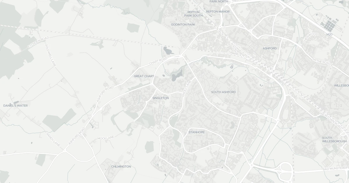
Use the interactive map to see how flood layers sit relative to the property.
Both modelled flood sources for this property are low or very low. No action expected.
No modelled flood risk from rivers or the sea at this address.
Heavy rain may cause minor pooling in low-lying areas. Flows up to 2 m/s. Extreme hazard rating.
This property sits in Flood Zone 1 — the lowest-probability planning zone. No flood-specific planning checks normally apply.
The lowest-probability planning flood zone — under a 0.1% river / 0.5% sea chance each year. A full FRA is usually only needed for large sites or where the council flags a local concern.
At this flood-risk level, standard home insurance typically covers flooding without difficulty.
At this flood-risk level, standard home insurance typically covers flooding without difficulty.
A government-backed scheme that helps keep flood insurance affordable for eligible homes built before 2009.
General guidance based on the modelled flood-risk level — not an insurance quote or advice.
Source: Environment Agency · National Flood Risk Assessment (NaFRA 2), via Vepler Flood . Check on GOV.UK
A two-bedroom terraced house at 34 Tithe Barn Lane in Kent (TN23 4YY). It offers one bathroom and around 53 m² of floor space. The property holds an EPC rating of B and dates from 1976–1982. Land Registry records a sale at £240,000 in July 2024. Nearby shops include Morrisons Daily, Co-op Brookfield, The Southern Co-operative Co and Budgens Bungalow, the closest about 361 m away. The nearest stations are Ashford International Railway Station, Pluckley Railway Station and Wye Railway Station, around 2.2 km away. Broadband coverage in the area is excellent and mobile coverage is strong. The Environment Agency rates this address at low risk of flooding.
Last Asking Price
£250,000
Last on market 2 years ago
Propbar's Valuation Beta
£XXX
Range £XXX – £XXX
Price position
Price per sq ft
£XXX
Based on 570 ft²
Last Sold
£240,000
Sold July 2024 · +£10,000 (+4%)
Market Timeline
—
Not currently listed
Times Listed
1 listing
First listing
Last Asking Rent
—
Not currently listed
Propbar's Valuation Beta
£XXX pcm
Range £XXX – £XXX pcm
Rent position
Gross Yield
X.X%
Annual return rate
Last Let
—
No record
Days on Market
—
Not currently listed
Times Listed
—
No history
1 of 12sections reviewed
Built 1976–1982.
Freehold confirmed by HM Land Registry. Unlock to reveal owner, charges and restrictions.
Listing history, price moves and time on market for this address.
Sold prices, sales volumes and market pace for TN23 over the last 24 months.
Nothing on record for this property. See what's being applied for and built around it.
Rivers & sea, surface water and the 2080 climate outlook for this address.
What band B means for your bills, rental rules and upgrade headroom.
Safety score for TN23 4YY, the recent trend and offence-by-offence breakdown.
Pollutant levels, the official index and health context for this address.
Where TN23 4YY sits on the national prosperity ladder, and what drives it.
Admission chances, ratings and catchment status for 32 schools nearby.
2 essentials within 15 min walk · 5 transport links nearby
We use cookies to provide you with the best experience. By continuing, you agree to our Cookie Policy .