Flood Risk
High chance of flooding. Greater than 1 in 30 annual chance.
High
This is not a sales listing. Propbar data is compiled for informational purposes.
Rivers & sea
High
Above head height — life-threatening
Surface water
High
Extreme hazard rating
Climate 2080
Stable
High projected for 2080
Flood defences
Not assessed
No defence data on file
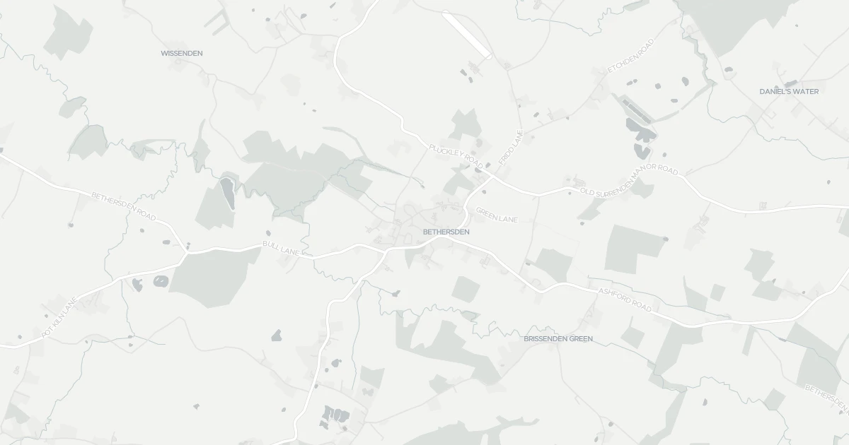
Open the interactive map to see exactly which flood layers cover this property.
At least one flood source carries a high risk. Review the rows below carefully.
About a 1-in-30 chance each year. Modelled depth up to 1.2m — above head height — life-threatening.
Heavy rain may cause significant flooding. Flows up to 2 m/s. Extreme hazard rating.
This property sits in Flood Zone 3 — the highest-probability planning zone. Developing or extending here normally needs a Flood Risk Assessment and must pass the planning sequential test.
A high-probability planning zone. FRA and sequential test required, and an exception test may apply for more-vulnerable uses.
Climate models project flood risk here will stay broadly stable through 2080.
Flood risk here is projected to stay broadly stable through the 2080s under current climate models.
At a high flood risk, home insurance can cost more or need a specialist insurer. The Flood Re scheme can help keep premiums affordable for eligible homes built before 2009.
At a high flood risk, home insurance can cost more or need a specialist insurer. Flood Re can help keep premiums affordable for eligible homes.
A government-backed scheme that helps keep flood insurance affordable for eligible homes built before 2009.
General guidance based on the modelled flood-risk level — not an insurance quote or advice.
Source: Environment Agency · National Flood Risk Assessment (NaFRA 2), via Vepler Flood . Check on GOV.UK
This two-bedroom detached house is located at 12 Forgefield in Kent (TN26 3BL). It is currently sold subject to contract. It offers one bathroom and around 65 m² of floor space. The property holds an EPC rating of D and dates from 1976–1982. Land Registry records a sale at £94,000 in December 2001. Nearby shops include Morrisons Daily, Co-op Brookfield, The Southern Co-operative Co and Budgens Bungalow, the closest about 6.2 km away. The nearest stations are Pluckley Railway Station, Tenterden Town Railway Station and Ashford International Railway Station, around 3.2 km away. Broadband coverage in the area is good and mobile coverage is strong. The Environment Agency rates this address at high risk of flooding.
Sale Agreed
£340,000
Last on market 1 year ago
Propbar's Valuation Beta
£XXX
Range £XXX – £XXX
Price position
Price per sq ft
£XXX
Based on 700 ft²
Last Sold
£345,000
Sold November 2025 · -£5,000 (-1%)
Market Timeline
Times Listed
1 listing
First listing
Last Asking Rent
—
Not currently listed
Propbar's Valuation Beta
£XXX pcm
Range £XXX – £XXX pcm
Rent position
Gross Yield
X.X%
Annual return rate
Last Let
—
No record
Days on Market
—
Not currently listed
Times Listed
—
No history
1 of 12sections reviewed
High chance of flooding. Greater than 1 in 30 annual chance.
7 transport links nearby
Built 1976–1982.
Freehold confirmed by HM Land Registry. Unlock to reveal owner, charges and restrictions.
Listing history, price moves and time on market for this address.
Sold prices, sales volumes and market pace for TN26 over the last 24 months.
Nothing on record for this property. See what's being applied for and built around it.
What band D means for your bills, rental rules and upgrade headroom.
Safety score for TN26 3BL, the recent trend and offence-by-offence breakdown.
Pollutant levels, the official index and health context for this address.
Where TN26 3BL sits on the national prosperity ladder, and what drives it.
Admission chances, ratings and catchment status for 4 schools nearby.