Building
Built 1991–1995.
Detached House
This is not a sales listing. Propbar data is compiled for informational purposes.
Rivers & sea
Low
Above head height — life-threatening
Surface water
Low
Extreme hazard rating
Climate 2080
Rising
Medium projected for 2080
Flood defences
Not assessed
No defence data on file
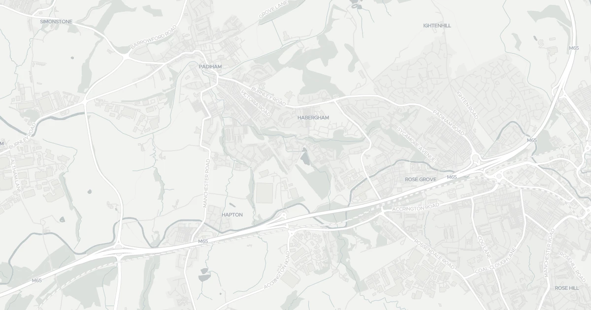
Use the interactive map to see how flood layers sit relative to the property.
Both modelled flood sources for this property are low or very low. No action expected.
About a 1-in-1,000 chance each year. Modelled depth up to 1.2m — above head height — life-threatening.
Heavy rain may cause minor pooling in low-lying areas. Flows up to 2 m/s. Extreme hazard rating.
This property sits in Flood Zone 2 — a medium-probability planning zone. Developing or extending here normally needs a Flood Risk Assessment.
A medium-probability planning zone. A site-specific FRA is required, and the sequential test must show no suitable site in Zone 1.
Flood risk here is projected to rise to medium by 2080 under current climate models.
Flood risk here is projected to rise to medium by the 2080s under current climate models.
At this flood-risk level, standard home insurance typically covers flooding without difficulty.
At this flood-risk level, standard home insurance typically covers flooding without difficulty.
A government-backed scheme that helps keep flood insurance affordable for eligible homes built before 2009.
General guidance based on the modelled flood-risk level — not an insurance quote or advice.
Source: Environment Agency · National Flood Risk Assessment (NaFRA 2), via Vepler Flood . Check on GOV.UK
This four-bedroom detached house is located at 90 Printers Fold in Lancashire (BB12 6PG). It offers two bathrooms and around 113 m² of floor space. The property holds an EPC rating of D and dates from 1991–1995. Land Registry records a sale at £153,000 in June 2016. Nearby shops include Spar, Tesco Padiham, Lidl Padiham and Farmfoods Rosehill, the closest about 1.3 km away. The nearest stations are Rose Grove Railway Station, Hapton Railway Station and Burnley Barracks Railway Station, around 1.2 km away. The Environment Agency rates this address at low risk of flooding.
Last Asking Price
£220,000
Last on market 5 years ago
Propbar's Valuation Beta
£XXX
Range £XXX – £XXX
Price position
Price per sq ft
£XXX
Based on 1,216 ft²
Last Sold
£215,000
Sold April 2021 · +£5,000 (+2%)
Market Timeline
—
Not currently listed
Times Listed
2 listings
Re-listed
Last Asking Rent
—
Not currently listed
Propbar's Valuation Beta
£XXX pcm
Range £XXX – £XXX pcm
Rent position
Gross Yield
X.X%
Annual return rate
Last Let
—
No record
Days on Market
—
Not currently listed
Times Listed
—
No history
1 of 12sections reviewed
Built 1991–1995.
Freehold confirmed by HM Land Registry. Unlock to reveal owner, charges and restrictions.
This property has 1 re-listingon record.
Sold prices, sales volumes and market pace for BB12 over the last 24 months.
Nothing on record for this property. See what's being applied for and built around it.
Rivers & sea, surface water and the 2080 climate outlook for this address.
What band D means for your bills, rental rules and upgrade headroom.
Safety score for BB12 6PG, the recent trend and offence-by-offence breakdown.
Pollutant levels, the official index and health context for this address.
Where BB12 6PG sits on the national prosperity ladder, and what drives it.
Admission chances, ratings and catchment status for 40 schools nearby.
5 transport links nearby
We use cookies to provide you with the best experience. By continuing, you agree to our Cookie Policy .