Crime & Safety
Crime in NR32 2AF is well above the national average. Safety score 1 out of 100, where higher is safer. Check the breakdown below.
Very high crime
This is not a sales listing. Propbar data is compiled for informational purposes.
0 of 12sections reviewed
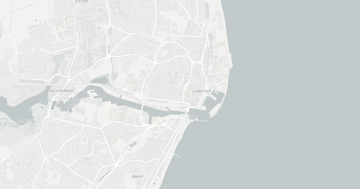
This three-bedroom terraced house is located at 100 Bevan Street West in Suffolk (NR32 2AF). It is currently available to rent. It offers one bathroom and around 71 m² of floor space. The property holds an EPC rating of D and dates from 1900–1929. Land Registry records a sale at £40,000 in July 2002. Nearby shops include Iceland Lowestoft, M&S Lowestoft, Tesco Lowestoft and Asda Lowestoft, the closest about 264 m away. The nearest stations are Lowestoft Railway Station, Entrance and Oulton Broad North Railway Station, around 217 m away. Broadband coverage in the area is excellent and mobile coverage is strong. The Environment Agency rates this address at low risk of flooding.
Last Asking Price
£85,000
Last on market 9 months ago
Propbar's Valuation Beta
£XXX
Range £XXX – £XXX
Price position
Price per sq ft
£XXX
Based on 764 ft²
Last Sold
£90,000
Sold September 2025 · -£5,000 (-6%)
Market Timeline
—
Not currently listed
Times Listed
1 listing
First listing
Asking Rent
£875 pcm
£10,500 per year · Listed 5 months ago
Propbar's Valuation Beta
£XXX pcm
Range £XXX – £XXX pcm
Rent position
Gross Yield
X.X%
Annual return rate
Last Let
£875 pcm
Listed January 2026
Days on Market
153 days
Long time on market
Times Listed
1 listing
First listing
0 of 12sections reviewed
Crime in NR32 2AF is well above the national average. Safety score 1 out of 100, where higher is safer. Check the breakdown below.
Built 1900–1929.
Freehold confirmed by HM Land Registry. Unlock to reveal owner, charges and restrictions.
Listing history, price moves and time on market for this address.
Sold prices, sales volumes and market pace for NR32 over the last 24 months.
Nothing on record for this property. See what's being applied for and built around it.
Rivers & sea, surface water and the 2080 climate outlook for this address.
What band D means for your bills, rental rules and upgrade headroom.
Pollutant levels, the official index and health context for this address.
Where NR32 2AF sits on the national prosperity ladder, and what drives it.
Admission chances, ratings and catchment status for 29 schools nearby.
3 essentials within 15 min walk · 6 transport links nearby
We use cookies to provide you with the best experience. By continuing, you agree to our Cookie Policy .