Area Overview for Seafield
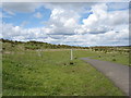
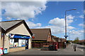
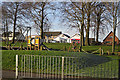
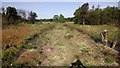
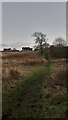
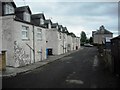
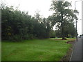
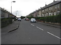
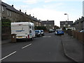
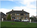
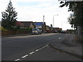
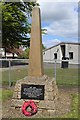
Photos of Seafield
Area Information
Seafield is a built-up area in Scotland, covering 32.3 hectares. Its compact size suggests a focused, town-like character, likely with a mix of residential and commercial spaces. The area benefits from excellent broadband connectivity, with a score of 100, ensuring seamless internet access for both work and leisure. Mobile coverage is rated 83, which is good for most daily needs, though not the highest possible. Residents have practical access to retail and rail amenities, including Co-op Scotmid, Spar Penny, and Tesco Bathgate for shopping, and nearby railway stations such as West Calder, Bathgate, and Livingston North for commuting. This combination of connectivity and accessibility makes Seafield appealing for those prioritising convenience. While the area’s population isn’t specified, the presence of multiple retail outlets and transport links suggests a moderate-sized community. Living here offers a balance of urban and suburban elements, with proximity to services and transport networks shaping daily life.
- Area Type
- Built Up Area 250
- Area Size
- 32.3 hectares
- Population
- Not available
- Population Density
- Not available
Seafield offers a range of amenities within easy reach. Retail options include Co-op Scotmid, Spar Penny, and Tesco Bathgate, providing everyday shopping needs. The area’s rail stations — West Calder, Bathgate, and Livingston North — connect residents to broader networks, enhancing mobility. While specific parks or leisure facilities aren’t listed, the presence of multiple retail and transport hubs suggests a convenient, service-rich environment. The compact layout of the area likely means amenities are not too far from residential zones, supporting a walkable lifestyle. For families, the proximity to schools and shops is a practical advantage, though specific educational institutions are not detailed in the data.
Amenities
Schools
| Rank | School | Type | Entry gender | Ages |
|---|
Explore more schools in this area
Go to Schools tabDemographics
Household Size
Accommodation Type
Tenure
Ethnic Group
Religion
Household Composition
Age
Household Deprivation
NS-SEC
Explore more demographic insights in this area
Go to Demographics tabPlanning
Planning Constraints
- Crime RiskPremium