Area Overview for Polbeth
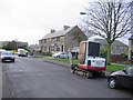
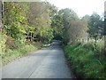
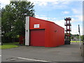
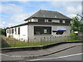
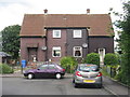
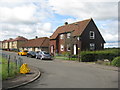
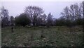
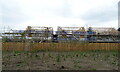
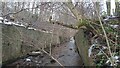
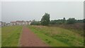
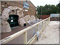
Photos of Polbeth

Area Information
Living in Polbeth offers a blend of practicality and connectivity, situated in Scotland’s central belt. Covering 75.5 hectares, the area is compact yet well-served by essential services. Residents benefit from excellent digital infrastructure, with a broadband score of 100 — the highest possible — ensuring seamless internet access for work, education, and leisure. Nearby rail links, including West Calder, Livingston South, and Addiewell stations, provide easy access to surrounding towns and cities. The area’s retail presence is notable, with five shops within practical reach, including Co-op Polbeth and Morrisons Dedridge, offering daily necessities. While Polbeth lacks large-scale amenities, its proximity to rail networks and high-quality broadband makes it appealing for commuters and remote workers. The community appears focused on accessibility and convenience, with a mix of housing types catering to diverse needs. For those prioritising connectivity and proximity to transport, Polbeth presents a viable option.
- Area Type
- Built Up Area 250
- Area Size
- 75.5 hectares
- Population
- Not available
- Population Density
- Not available
Polbeth’s lifestyle is defined by its accessible amenities and practical layout. Within walking or short driving distance are five retail outlets, including Co-op Polbeth, Co-op Scotmid, and Morrisons Dedridge, ensuring everyday shopping needs are met. These stores provide a range of products, from groceries to household essentials, supporting a self-contained daily routine. The area’s rail stations — West Calder, Livingston South, and Addiewell — offer direct links to nearby towns, enabling easy access to cultural, recreational, and professional opportunities beyond Polbeth. While the area does not feature expansive parks or leisure facilities, its proximity to transport and retail ensures residents can quickly reach larger destinations. This balance of local convenience and regional connectivity makes Polbeth suitable for those prioritising efficiency in their daily lives.
Amenities
Schools
| Rank | School | Type | Entry gender | Ages |
|---|
Explore more schools in this area
Go to Schools tabDemographics
Household Size
Accommodation Type
Tenure
Ethnic Group
Religion
Household Composition
Age
Household Deprivation
NS-SEC
Explore more demographic insights in this area
Go to Demographics tabPlanning
Planning Constraints
- Crime RiskPremium