Area Overview for EH30 9SL
Photos of EH30 9SL
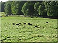
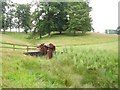
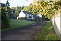
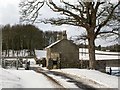
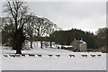
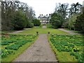
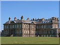
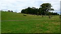
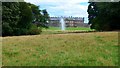

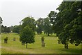
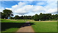
54 photos from this area
Area Information
Key information about the EH30 9SL including its size, population, and administrative classification.
- Area Type
- Postcode
- Area Size
- 5.8 km²
- Population
- Not available
- Population Density
- Not available
House Prices in EH30 9SL
36
Properties
-
Average Sold Price
-
Lowest Price
-
Highest Price
Showing 36 properties
| Address | Type | Beds | Baths | Last Sale Price | Last Sale Date | |
|---|---|---|---|---|---|---|
| The Banks, U 3 A 904 To East Lodge, Newton, EH30 9SL | Detached | 7 | - | - | - | |
| Lower Flat, U 2 Deer Park Road To West Lodge, Abercorn, Newton, EH30 9SL | Flat | - | - | - | - | |
| Tennis Court 79M From Hopetoun House 26M From Lime Avenue, Lime Avenue, Newton, EH30 9SL | Leisure | - | - | - | - | |
| Hopetoun West Lodge, U 2 West Lodge To A 904, Abercorn, Newton, EH30 9SL | Detached | - | - | - | - | |
| 1, Obelisk Cottage, U 3 A 904 To East Lodge, Newton, EH30 9SL | house | - | - | - | - | |
| Abercorn Cemetery, U 2 Deer Park Road To West Lodge, Abercorn, Newton, EH30 9SL | commercial | - | - | - | - | |
| Hopetoun Sawmill, U 2 West Lodge To A 904, Abercorn, Newton, EH30 9SL | Industrial | - | - | - | - | |
| Hawthornsyke, U 2 West Lodge To A 904, Abercorn, Newton, EH30 9SL | house | - | - | - | - | |
| New Midhope Cottage, U 2 West Lodge To A 904, Abercorn, Newton, EH30 9SL | Detached | - | - | - | - | |
| West Garden Cottage, Lime Avenue, Newton, EH30 9SL | general_industrial | - | - | - | - |
Page 1 of 4
Energy Efficiency in EH30 9SL
Amenities
Schools
| Rank | School | Type | Entry gender | Ages |
|---|
Explore more schools in this area
Go to Schools tabDemographics
Household Size
N/A
most common
Accommodation Type
N/A
most common
Tenure
N/A
majority
Ethnic Group
N/A
most common
Religion
N/A
most common
Household Composition
N/A
most common
Age
N/A
median
N/A
most common
Household Deprivation
N/A
with no deprivation
NS-SEC
N/A
in Lower managerial occupations
Explore more demographic insights in this area
Go to Demographics tabPlanning
Planning Constraints
- Flood RiskPremium
- Ramsar Wetland SitesPremium
- Area of Outstanding Natural BeautyPremium
- Protected Nature ReservePremium
- Protected WoodlandPremium
- Crime RiskPremium