Area Overview for East Calder
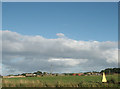
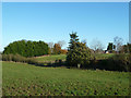
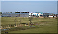
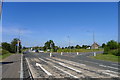
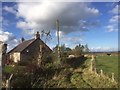
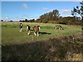
Photos of East Calder

Area Information
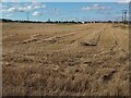
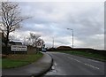
East Calder is a compact built-up area in Scotland, covering just 2.3 square kilometres. Its size means it is neither sprawling nor dense, offering a balance between urban convenience and manageable scale. The area is well-served by transport infrastructure, with multiple railway stations and park-and-ride facilities within reach. Residents benefit from proximity to Edinburgh Airport, which is a notable nearby feature. Retail options are varied, with five shops including Co-op Scotmid and Tesco within practical walking or driving distance. Daily life here is shaped by accessibility to both local amenities and regional transport links, making it a practical choice for commuters and those seeking a mix of urban and semi-rural living. The high broadband score of 99 suggests strong digital connectivity, supporting both professional and personal internet needs. While specific details about the population or historical context are absent, the area’s infrastructure and connectivity position it as a functional, modern community in a strategic location.
- Area Type
- Built Up Area 250
- Area Size
- 2.3 km²
- Population
- Not available
- Population Density
- Not available
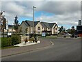
Living in East Calder offers access to a range of amenities that cater to daily needs. The area has five retail outlets, including Co-op Scotmid East Calder 1 and Tesco East, providing essential shopping options. Nearby, three railway stations—Kirknewton, Uphall, and Livingston South—offer regular services, while metro stops like Ingliston Park & Ride and Gogarburn connect to Edinburgh and surrounding areas. Edinburgh Airport is within reach, adding convenience for frequent travelers. The presence of these facilities ensures residents can manage errands, commute efficiently, and access regional destinations without long journeys. The mix of retail, transport, and travel infrastructure contributes to a practical, accessible lifestyle, supporting both everyday routines and broader mobility needs. This blend of amenities makes East Calder a viable choice for those prioritizing convenience and connectivity in their daily lives.
Amenities
Schools
| Rank | School | Type | Entry gender | Ages |
|---|
Explore more schools in this area
Go to Schools tabDemographics
Household Size
Accommodation Type
Tenure
Ethnic Group
Religion
Household Composition
Age
Household Deprivation
NS-SEC
Explore more demographic insights in this area
Go to Demographics tabPlanning
Planning Constraints
- Crime RiskPremium