Area Overview for IV28 3YE
Photos of IV28 3YE
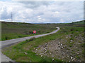
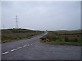

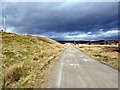

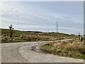
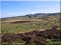
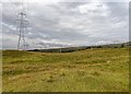
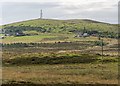
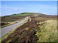
11 photos from this area
Area Information
Key information about the IV28 3YE including its size, population, and administrative classification.
- Area Type
- Postcode
- Area Size
- 18.9 km²
- Population
- Not available
- Population Density
- Not available
House Prices in IV28 3YE
27
Properties
-
Average Sold Price
-
Lowest Price
-
Highest Price
Showing 27 properties
| Address | Type | Beds | Baths | Last Sale Price | Last Sale Date | |
|---|---|---|---|---|---|---|
| 104, East Neuk Cottage, Knockarthur, Knockarthur Farlary Road, Rogart, IV28 3YE | Detached | 3 | 1 | - | - | |
| 101, Tighean Marian, Knockarthur, Knockarthur Farlary Road, Rogart, IV28 3YE | Bungalow | 3 | 1 | - | - | |
| Old Croft House, Achork, Achork Road, Rogart, IV28 3YE | Detached | 2 | 1 | - | - | |
| Tore-gorm, Knockarthur, Knockarthur Farlary Road, Rogart, IV28 3YE | Detached | 3 | - | - | - | |
| Ardtara, Knockarthur, Knockarthur Farlary Road, Rogart, IV28 3YE | house | - | - | - | - | |
| Kilbraur Windfarm Site, Drumanairguid Bridge Of Horne, Rogart, IV28 3YE | Industrial | - | - | - | - | |
| 109, Achvoan, Drumanairguid Bridge Of Horne, Rogart, IV28 3YE | Detached | - | - | - | - | |
| 113, Achork, Achork Road, Rogart, IV28 3YE | house | - | - | - | - | |
| Greenbank Lodge, Inchomney, Drumanairguid Bridge Of Horne, Rogart, IV28 3YE | Detached | - | - | - | - | |
| Speur Mhor, Achork, Achork Road, Rogart, IV28 3YE | house | - | - | - | - |
Page 1 of 3
Energy Efficiency in IV28 3YE
Amenities
Schools
| Rank | School | Type | Entry gender | Ages |
|---|
Explore more schools in this area
Go to Schools tabDemographics
Household Size
N/A
most common
Accommodation Type
N/A
most common
Tenure
N/A
majority
Ethnic Group
N/A
most common
Religion
N/A
most common
Household Composition
N/A
most common
Age
N/A
median
N/A
most common
Household Deprivation
N/A
with no deprivation
NS-SEC
N/A
in Lower managerial occupations
Explore more demographic insights in this area
Go to Demographics tabPlanning
Planning Constraints
- Flood RiskPremium
- Ramsar Wetland SitesPremium
- Area of Outstanding Natural BeautyPremium
- Protected Nature ReservePremium
- Protected WoodlandPremium
- Crime RiskPremium