Area Overview for G63 9LZ
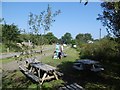
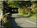
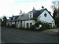
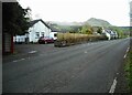
Photos of G63 9LZ
Area Information
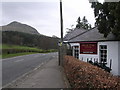
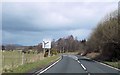
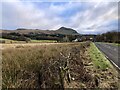
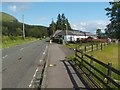
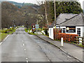
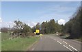
Living in G63 9LZ offers a quiet, residential experience typical of small Scottish postcode clusters. This area, located in central Scotland, is defined by its compact nature, with homes likely spread across a limited footprint. It is not a sprawling suburb but a focused community, possibly centred around a few key streets or developments. Daily life here is likely characterised by a slower pace, with local amenities within walking distance. The nearby Milngavie Railway Station provides access to regional transport networks, though the area itself remains residential rather than commercial. Retail options include Co-op Killearn, Co-op Balfron, and Spar, suggesting a modest selection of shops for everyday needs. The broadband and mobile connectivity scores of 79 and 81, respectively, indicate reliable digital access, supporting remote work or online activities. While not a major urban hub, G63 9LZ is positioned for those seeking a balance between convenience and tranquillity, with minimal environmental constraints like flood risk or protected natural areas. This makes it a practical choice for buyers prioritising stability over high-density living.
- Area Type
- Postcode
- Area Size
- Not available
- Population
- Not available
- Population Density
- Not available
House Prices in G63 9LZ
No properties found in this postcode.
Energy Efficiency in G63 9LZ
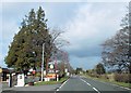
The lifestyle in G63 9LZ is shaped by its proximity to basic retail and transport links. Local shops such as Co-op Killearn, Co-op Balfron, and Spar provide essential services, from groceries to convenience items, reducing the need for long trips. The Milngavie Railway Station adds accessibility, allowing residents to reach larger towns or cities for more specialised amenities. While the area does not feature parks or recreational spaces in the data, the lack of protected natural areas or planning constraints suggests a focus on residential simplicity rather than expansive green spaces. The absence of major leisure facilities or dining venues implies a community-oriented lifestyle, where social interactions may revolve around local stores or nearby towns. For those who value self-sufficiency and minimal environmental restrictions, G63 9LZ offers a straightforward, no-frills approach to daily living.
Amenities
Schools
| Rank | School | Type | Entry gender | Ages |
|---|
Explore more schools in this area
Go to Schools tabDemographics
Household Size
Accommodation Type
Tenure
Ethnic Group
Religion
Household Composition
Age
Household Deprivation
NS-SEC
Explore more demographic insights in this area
Go to Demographics tabPlanning
Planning Constraints
- Flood RiskPremium
- Ramsar Wetland SitesPremium
- Area of Outstanding Natural BeautyPremium
- Protected Nature ReservePremium
- Protected WoodlandPremium
- Crime RiskPremium