Area Overview for G63 9ET
Photos of G63 9ET
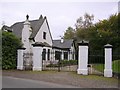
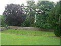
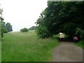
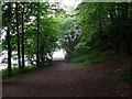
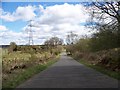
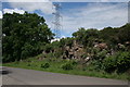
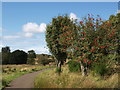
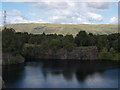
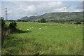
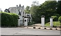
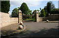
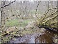
61 photos from this area
Area Information
Key information about the G63 9ET including its size, population, and administrative classification.
- Area Type
- Postcode
- Area Size
- 95.7 hectares
- Population
- Not available
- Population Density
- Not available
House Prices in G63 9ET
9
Properties
-
Average Sold Price
-
Lowest Price
-
Highest Price
Showing 9 properties
| Address | Type | Beds | Baths | Last Sale Price | Last Sale Date | |
|---|---|---|---|---|---|---|
| Bracken House, Old Mugdock Road, Strathblane, G63 9ET | Detached | 5 | 4 | - | - | |
| Tennis Court 21M From Deilscraig Old Mugdock Road. 50M From Unnamed Road, Old Mugdock Road, Strathblane, G63 9ET | Leisure | - | - | - | - | |
| Tennis Court 52M From Bracken House Old Mugdock Road. 34M From Unnamed Road, Old Mugdock Road, Strathblane, G63 9ET | Leisure | - | - | - | - | |
| Deils Craig, Old Mugdock Road, Strathblane, G63 9ET | house | - | - | - | - | |
| Dumbrock House, Old Mugdock Road, Strathblane, G63 9ET | Detached | - | - | - | - | |
| Lyford, Old Mugdock Road, Strathblane, G63 9ET | Terraced | 4 | 2 | - | - | |
| Valhalla Stables, Old Mugdock Road, Strathblane, G63 9ET | Equestrian | - | - | - | - | |
| Valhalla, Old Mugdock Road, Strathblane, G63 9ET | Detached | - | - | - | - | |
| Ardunan Farm, Old Mugdock Road, Strathblane, G63 9ET | Detached | - | - | - | - |
Energy Efficiency in G63 9ET
Amenities
Schools
| Rank | School | Type | Entry gender | Ages |
|---|
Explore more schools in this area
Go to Schools tabDemographics
Household Size
N/A
most common
Accommodation Type
N/A
most common
Tenure
N/A
majority
Ethnic Group
N/A
most common
Religion
N/A
most common
Household Composition
N/A
most common
Age
N/A
median
N/A
most common
Household Deprivation
N/A
with no deprivation
NS-SEC
N/A
in Lower managerial occupations
Explore more demographic insights in this area
Go to Demographics tabPlanning
Planning Constraints
- Flood RiskPremium
- Ramsar Wetland SitesPremium
- Area of Outstanding Natural BeautyPremium
- Protected Nature ReservePremium
- Protected WoodlandPremium
- Crime RiskPremium