Area Overview for IV55 8ZJ
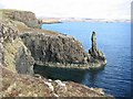
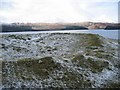
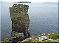
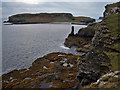
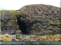
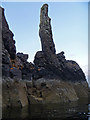
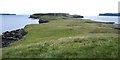
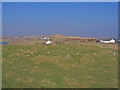
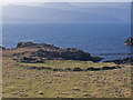
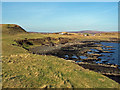
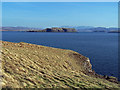
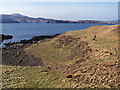
Photos of IV55 8ZJ
Area Information
IV55 8ZJ is a small, compact postcode area in Scotland, covering just 1.1 km² and encompassing a tightly knit residential cluster. This is a quiet, low-density area where the pace of life is unhurried, and the sense of community is strong. The area’s modest size means it is likely to be surrounded by open countryside or rural landscapes, though specific details about its geography are not provided. Given its small footprint, IV55 8ZJ is unlikely to have a large population, and the homes here are likely to be spread out, perhaps including traditional Scottish housing styles such as cottages or semi-detached properties. The area’s proximity to natural reserves, though not within its boundaries, may influence its character, offering residents access to protected environments nearby. For those seeking a peaceful, secluded living environment away from urban centres, IV55 8ZJ presents a compelling case, though its limited size means it is not suited to those requiring extensive local amenities or services.
- Area Type
- Postcode
- Area Size
- 1.1 km²
- Population
- Not available
- Population Density
- Not available
House Prices in IV55 8ZJ
Showing 8 properties
Energy Efficiency in IV55 8ZJ
Amenities
Schools
| Rank | School | Type | Entry gender | Ages |
|---|
Explore more schools in this area
Go to Schools tabDemographics
Household Size
Accommodation Type
Tenure
Ethnic Group
Religion
Household Composition
Age
Household Deprivation
NS-SEC
Explore more demographic insights in this area
Go to Demographics tabPlanning
Planning Constraints
- Flood RiskPremium
- Ramsar Wetland SitesPremium
- Area of Outstanding Natural BeautyPremium
- Protected Nature ReservePremium
- Protected WoodlandPremium
- Crime RiskPremium