Area Overview for Culbokie
Photos of Culbokie
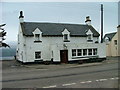
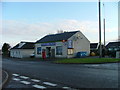
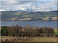
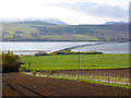
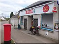
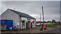
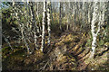
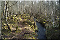
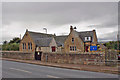
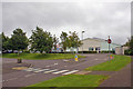
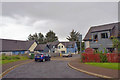
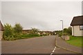
45 photos from this area
Area Information
Key information about the Culbokie including its size, population, and administrative classification.
- Area Type
- Built Up Area 250
- Area Size
- 53.4 hectares
- Population
- Not available
- Population Density
- Not available
Amenities
Schools
| Rank | A + A* % | School | Type | Entry gender | Ages |
|---|
Explore more schools in this area
Go to Schools tabDemographics
Household Size
N/A
most common
Accommodation Type
N/A
most common
Tenure
N/A
majority
Ethnic Group
N/A
most common
Religion
N/A
most common
Household Composition
N/A
most common
Age
N/A
median
N/A
most common
Household Deprivation
N/A
with no deprivation
NS-SEC
N/A
in Lower managerial occupations
Explore more demographic insights in this area
Go to Demographics tabPlanning
Planning Constraints
- Crime RiskLocked