Area Overview for G78 1QY
Photos of G78 1QY
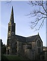
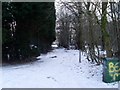
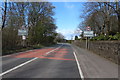
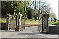
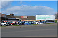
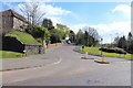
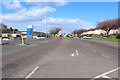
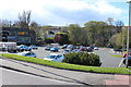
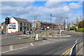
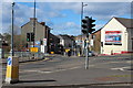
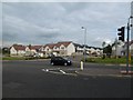
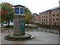
47 photos from this area
Area Information
Key information about the G78 1QY including its size, population, and administrative classification.
- Area Type
- Postcode
- Area Size
- 3032 m²
- Population
- Not available
- Population Density
- Not available
House Prices in G78 1QY
12
Properties
-
Average Sold Price
-
Lowest Price
-
Highest Price
Showing 12 properties
| Address | Type | Beds | Baths | Last Sale Price | Last Sale Date | |
|---|---|---|---|---|---|---|
| 25 Cross Arthurlie Street, Barrhead, G78 1QY | Flat | - | - | - | - | |
| Flat 1-2, 21 Cross Arthurlie Street, Barrhead, G78 1QY | Flat | - | - | - | - | |
| 27 Cross Arthurlie Street, Barrhead, G78 1QY | shop | - | - | - | - | |
| Royal Bank Of Scotland, 29-31 Cross Arthurlie Street, Barrhead, G78 1QY | retail_financial | - | - | - | - | |
| Flat 2-1, 21 Cross Arthurlie Street, Barrhead, G78 1QY | Flat | - | - | - | - | |
| Kelburn Bar, 19 Cross Arthurlie Street, Barrhead, G78 1QY | pub | - | - | - | - | |
| Lloyds Tsb, 23 Cross Arthurlie Street, Barrhead, G78 1QY | retail_financial | - | - | - | - | |
| Flat 2-2, 21 Cross Arthurlie Street, Barrhead, G78 1QY | Flat | - | - | - | - | |
| Hickeys, 23A Cross Arthurlie Street, Barrhead, G78 1QY | shop | - | - | - | - | |
| Kwik-fit, 17 Cross Arthurlie Street, Barrhead, G78 1QY | office_workshop | - | - | - | - |
Page 1 of 2
Energy Efficiency in G78 1QY
Amenities
Schools
| Rank | School | Type | Entry gender | Ages |
|---|
Explore more schools in this area
Go to Schools tabDemographics
Household Size
N/A
most common
Accommodation Type
N/A
most common
Tenure
N/A
majority
Ethnic Group
N/A
most common
Religion
N/A
most common
Household Composition
N/A
most common
Age
N/A
median
N/A
most common
Household Deprivation
N/A
with no deprivation
NS-SEC
N/A
in Lower managerial occupations
Explore more demographic insights in this area
Go to Demographics tabPlanning
Planning Constraints
- Flood RiskPremium
- Ramsar Wetland SitesPremium
- Area of Outstanding Natural BeautyPremium
- Protected Nature ReservePremium
- Protected WoodlandPremium
- Crime RiskPremium