Area Overview for PH15 2HQ
Photos of PH15 2HQ
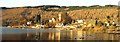
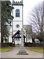
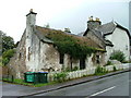
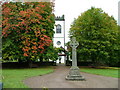
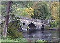
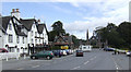
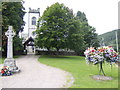
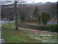
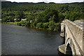
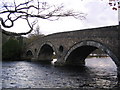
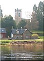
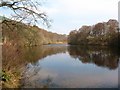
100 photos from this area
Area Information
Key information about the PH15 2HQ including its size, population, and administrative classification.
- Area Type
- Postcode
- Area Size
- 2.2 hectares
- Population
- Not available
- Population Density
- Not available
House Prices in PH15 2HQ
10
Properties
-
Average Sold Price
-
Lowest Price
-
Highest Price
Showing 10 properties
| Address | Type | Beds | Baths | Last Sale Price | Last Sale Date | |
|---|---|---|---|---|---|---|
| Balloch, 8 Braes Of Taymouth, Kenmore, PH15 2HQ | Detached | 3 | 2 | - | - | |
| Tatha View, 4 Braes Of Taymouth, Kenmore, PH15 2HQ | Detached | 4 | 3 | - | - | |
| Grianach, 5 Braes Of Taymouth, Kenmore, PH15 2HQ | Detached | 4 | 3 | - | - | |
| Ardoch Lodge, 3 Braes Of Taymouth, Kenmore, PH15 2HQ | Lodge | 3 | 2 | - | - | |
| Drummond View, Braes Of Taymouth, Kenmore, PH15 2HQ | Bungalow | 3 | 1 | - | - | |
| Craobhan Arda, 1 Braes Of Taymouth, Kenmore, PH15 2HQ | Detached | - | - | - | - | |
| Old Beech House, U 173 From The Junction Of The C 451 To The South Boundary Of Tombuie Cottage Bolfracks, Kenmore, PH15 2HQ | Detached | - | - | - | - | |
| Shop And Tearoom, Aberfeldy Road, Kenmore, PH15 2HQ | shop | - | - | - | - | |
| 6 Braes Of Taymouth, Kenmore, PH15 2HQ | house | - | - | - | - | |
| Birchburn, 7 Braes Of Taymouth, Kenmore, PH15 2HQ | Detached | - | - | - | - |
Energy Efficiency in PH15 2HQ
Amenities
Schools
| Rank | School | Type | Entry gender | Ages |
|---|
Explore more schools in this area
Go to Schools tabDemographics
Household Size
N/A
most common
Accommodation Type
N/A
most common
Tenure
N/A
majority
Ethnic Group
N/A
most common
Religion
N/A
most common
Household Composition
N/A
most common
Age
N/A
median
N/A
most common
Household Deprivation
N/A
with no deprivation
NS-SEC
N/A
in Lower managerial occupations
Explore more demographic insights in this area
Go to Demographics tabPlanning
Planning Constraints
- Flood RiskPremium
- Ramsar Wetland SitesPremium
- Area of Outstanding Natural BeautyPremium
- Protected Nature ReservePremium
- Protected WoodlandPremium
- Crime RiskPremium