Area Overview for PH13 9NW
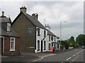
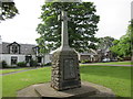
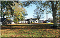
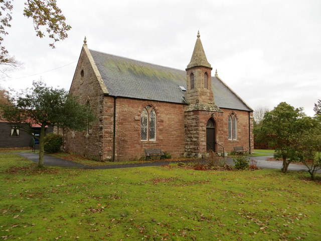
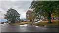
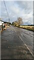
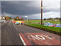
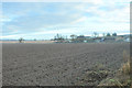
Photos of PH13 9NW


Area Information
PH13 9NW represents a compact residential cluster in Scotland, covering just 1.1 hectares. This small geographical footprint suggests a tightly knit neighbourhood where local amenities are within walking distance for many residents. Living in PH13 9NW means navigating a specific postcode area that blends community intimacy with practical access to wider town centres. The area functions as a residential satellite, likely served by the larger market towns of Blairgowrie or Coupar Angus which surround it. You will find a concentration of homes designed for local families and commuters who value proximity to basic services. Daily life here revolves around the immediate surroundings, yet it remains connected to broader regional transport arteries. The limited squareage indicates that properties are close together, fostering a sense of familiarity among neighbours. While the area is small, its strategic position allows for convenient travel to larger employment hubs without sacrificing a quieter residential setting. Prospective buyers seeking a specific postcode within the PH13 district will find this location offers a defined community scope.
- Area Type
- Postcode
- Area Size
- 1.1 hectares
- Population
- Not available
- Population Density
- Not available
There is no information available regarding the home ownership percentage or the specific mix of accommodation types within PH13 9NW. The data does not specify whether this cluster consists mainly of terraced houses, detached bungalows, or modern flats. Consequently, you cannot determine if the market is dominated by owner-occupiers or landlords. The description notes that this postcode covers a small residential cluster, but it does not reveal the building styles or the average tenure length of the properties. Without data on the number of homes or the ratio of rented property to sales, a clear picture of the housing stock is impossible to construct. This lack of specific property metrics means you lack insight into whether the area is undergoing regeneration or represents long-standing, established housing. Buyers considering homes in PH13 9NW should note that detailed market composition data is not included in the current records, making it difficult to compare this specific spot with other parts of the region.
House Prices in PH13 9NW
Showing 8 properties
| Address | Type | Beds | Baths | Last Sale Price | Last Sale Date | |
|---|---|---|---|---|---|---|
| 1, Langlands Cottage, Green Road, Woodside, PH13 9NW | Terraced | 4 | 1 | - | - | |
| Woodside Cottage, Green Road, Woodside, PH13 9NW | Cottage | 2 | 1 | - | - | |
| 1 Green Road, Woodside, PH13 9NW | Semi-detached | - | - | - | - | |
| The Willows, Green Road, Woodside, PH13 9NW | Bungalow | - | - | - | - | |
| 3 Green Road, Woodside, PH13 9NW | Semi-detached | - | - | - | - | |
| Tonara, Green Road, Woodside, PH13 9NW | Detached | - | - | - | - | |
| 3, Langlands Cottage, Green Road, Woodside, PH13 9NW | house | - | - | - | - | |
| 2, Langlands Cottage, Green Road, Woodside, PH13 9NW | Terraced | - | - | - | - |
Energy Efficiency in PH13 9NW
Residents of PH13 9NW enjoy access to a handful of retail options within practical reach, though the selection is modest. The nearest amenities include five distinct retail locations, providing basic necessities without requiring a long journey to a major shopping centre. You can shop for groceries and household goods at Co-op Scotmid Coupar Angus, which features two separate outlets in the vicinity, ensuring convenience for daily errands. For wider shopping choices, Lidl in Blairgowrie serves as the primary supermarket destination for the area. These specific venues form the core of your weekly shopping routine, removing the need to travel far for essential goods. While dining or leisure options are not listed in the provided data, the presence of these supermarkets supports a functional, self-sufficient lifestyle. The area caters to those who value the convenience of having a Co-op nearby rather than the variety of a large town centre. Living in PH13 9NW means accepting a limited shopping footprint in exchange for a potentially quieter residential existence.
Amenities
Schools
| Rank | School | Type | Entry gender | Ages |
|---|
Explore more schools in this area
Go to Schools tabDemographics
You cannot derive age profiles, household types, or deprivation statistics for PH13 9NW from the available information. The provided data does not include population numbers or the breakdown of social demographics required to paint a detailed picture of who lives here. Without these specific figures, any statement regarding the community's composition would be an assumption rather than a fact. You do not have data on whether the area is primarily inhabited by young professionals, retired couples, or families with children. Similarly, there is no information to confirm the levels of home ownership or the diversity of the resident population. The absence of these standard demographic indicators means you must rely on general observations rather than concrete statistics about income levels or educational attainment. While the area is situated in Scotland, the specific social fabric of this 1.1-hectare cluster remains undefined in the current records. Buyers should understand that detailed socio-economic data is not currently recorded for this specific postcode.
Household Size
Accommodation Type
Tenure
Ethnic Group
Religion
Household Composition
Age
Household Deprivation
NS-SEC
Explore more demographic insights in this area
Go to Demographics tabPlanning
Planning Constraints
- Flood RiskPremium
- Ramsar Wetland SitesPremium
- Area of Outstanding Natural BeautyPremium
- Protected Nature ReservePremium
- Protected WoodlandPremium
- Crime RiskPremium