Area Overview for Dunning
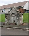
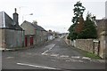
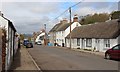
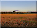
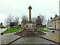
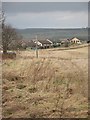
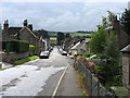
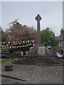
Photos of Dunning
Area Information
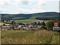
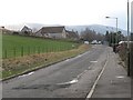
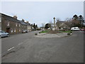
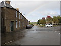
Dunning is a built-up area in Scotland, covering 45.3 hectares. It is a small, compact community with a focus on practical living, positioned near key transport links like the Gleneagles Railway Station. The area is characterised by its proximity to retail amenities, including Budgens Dunning, Co-op Auchterarder, and Spar, which serve local needs. While the broadband connectivity score is poor (23), mobile coverage is good (81), offering residents reliable communication for daily tasks. Dunning’s modest size and access to nearby services make it a viable option for those prioritising convenience over sprawling urban spaces. The area is likely to attract individuals or families seeking a balance between accessibility and a quieter, more contained environment. Its location within Scotland suggests it may be part of a larger regional network, though specific details about its broader context remain limited.
- Area Type
- Built Up Area 250
- Area Size
- 45.3 hectares
- Population
- Not available
- Population Density
- Not available
Dunning’s lifestyle is shaped by its proximity to essential retail outlets, including Budgens Dunning, Co-op Auchterarder, and Spar. These shops provide everyday convenience for groceries and household items, reducing the need for long trips. The Gleneagles Railway Station adds to the area’s accessibility, connecting residents to broader networks for leisure or work. While the area lacks detailed information on parks or leisure facilities, its compact size suggests a focus on practical living rather than expansive recreational spaces. The presence of nearby amenities indicates a community-oriented environment, where daily needs can be met without excessive travel. For those valuing simplicity and proximity to services, Dunning offers a straightforward, no-frills lifestyle.
Amenities
Schools
| Rank | A + A* % | School | Type | Entry gender | Ages |
|---|
Explore more schools in this area
Go to Schools tabDemographics
Household Size
Accommodation Type
Tenure
Ethnic Group
Religion
Household Composition
Age
Household Deprivation
NS-SEC
Explore more demographic insights in this area
Go to Demographics tabPlanning
Planning Constraints
- Crime RiskLocked