Area Overview for ML8 4AL
Photos of ML8 4AL
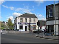
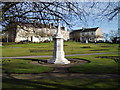
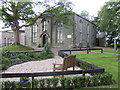
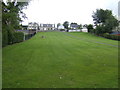
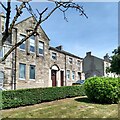
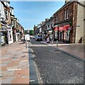
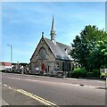
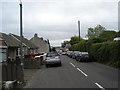
34 photos from this area
Area Information
Key information about the ML8 4AL including its size, population, and administrative classification.
- Area Type
- Postcode
- Area Size
- 1.3 hectares
- Population
- Not available
- Population Density
- Not available
House Prices in ML8 4AL
33
Properties
-
Average Sold Price
-
Lowest Price
-
Highest Price
Showing 33 properties
| Address | Type | Beds | Baths | Last Sale Price | Last Sale Date | |
|---|---|---|---|---|---|---|
| 31 High Street, Carluke, ML8 4AL | Flat | 5 | 2 | - | - | |
| 35 High Street, Carluke, ML8 4AL | Maisonette | 3 | 1 | - | - | |
| 11 High Street, Carluke, ML8 4AL | Flat | - | - | - | - | |
| R S Mccoll Ltd, Ground Floor, 3 High Street, Carluke, ML8 4AL | shop | - | - | - | - | |
| Sunseekers Travel, 51 High Street, Carluke, ML8 4AL | Retail | - | - | - | - | |
| Morison & Smith, 39 High Street, Carluke, ML8 4AL | Office | - | - | - | - | |
| 1A High Street, Carluke, ML8 4AL | shop | - | - | - | - | |
| J & D Flynn Jewellery, 29 High Street, Carluke, ML8 4AL | shop | - | - | - | - | |
| The Paper Box, 21 High Street, Carluke, ML8 4AL | shop | - | - | - | - | |
| James Chapman Butchers, 45 High Street, Carluke, ML8 4AL | shop | - | - | - | - |
Page 1 of 4
Energy Efficiency in ML8 4AL
Amenities
Schools
| Rank | School | Type | Entry gender | Ages |
|---|
Explore more schools in this area
Go to Schools tabDemographics
Household Size
N/A
most common
Accommodation Type
N/A
most common
Tenure
N/A
majority
Ethnic Group
N/A
most common
Religion
N/A
most common
Household Composition
N/A
most common
Age
N/A
median
N/A
most common
Household Deprivation
N/A
with no deprivation
NS-SEC
N/A
in Lower managerial occupations
Explore more demographic insights in this area
Go to Demographics tabPlanning
Planning Constraints
- Flood RiskPremium
- Ramsar Wetland SitesPremium
- Area of Outstanding Natural BeautyPremium
- Protected Nature ReservePremium
- Protected WoodlandPremium
- Crime RiskPremium