Area Overview for ML6 6YE
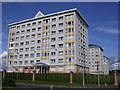
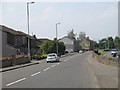
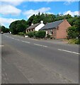
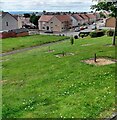
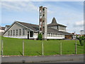
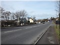
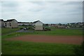
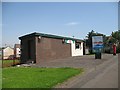
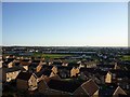
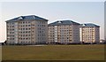
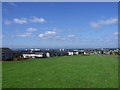
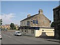
Photos of ML6 6YE
Area Information
Living in ML6 6YE means residing in a small, defined postcode area in Scotland that serves as a compact residential cluster. This area is characterised by its proximity to essential services and transport links, making it a practical choice for those seeking a balanced lifestyle. The presence of multiple railway stations—Airdrie, Drumgelloch, and Coatdyke—ensures easy access to commuting routes, while nearby retail outlets such as Aldi High, Iceland Airdrie, and Tesco Auld provide daily convenience. The area’s digital connectivity is robust, with a broadband score of 98, indicating excellent home internet capabilities, and a mobile coverage score of 80, which is good for staying connected on the go. Residents benefit from a low flood risk, with no exposure to protected natural sites like Ramsar wetlands or Areas of Outstanding Natural Beauty. This makes ML6 6YE a stable, low-risk environment for housing. The small scale of the area suggests a tight-knit community feel, though specific details about its population or cultural makeup remain unquantified in the available data.
- Area Type
- Postcode
- Area Size
- Not available
- Population
- Not available
- Population Density
- Not available
House Prices in ML6 6YE
No properties found in this postcode.
Energy Efficiency in ML6 6YE
Daily life in ML6 6YE is shaped by its proximity to essential retail and transport hubs. Residents can access five notable retail outlets within practical reach, including Aldi High, Iceland Airdrie, and Tesco Auld, which cater to everyday shopping needs. These stores provide a range of products, from groceries to household goods, reducing the need for long trips to larger centres. The area’s rail network further enhances accessibility, with three railway stations offering connections to nearby destinations. While the data does not specify parks or leisure facilities, the absence of protected natural areas suggests that recreational spaces may be limited. However, the presence of multiple retail and transport options indicates a focus on practicality and convenience, making ML6 6YE suitable for those prioritising functional living over expansive green spaces.
Amenities
Schools
| Rank | School | Type | Entry gender | Ages |
|---|
Explore more schools in this area
Go to Schools tabDemographics
Household Size
Accommodation Type
Tenure
Ethnic Group
Religion
Household Composition
Age
Household Deprivation
NS-SEC
Explore more demographic insights in this area
Go to Demographics tabPlanning
Planning Constraints
- Flood RiskPremium
- Ramsar Wetland SitesPremium
- Area of Outstanding Natural BeautyPremium
- Protected Nature ReservePremium
- Protected WoodlandPremium
- Crime RiskPremium