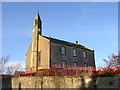
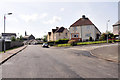
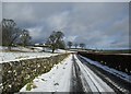
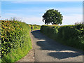
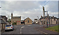
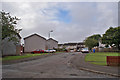
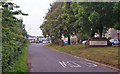
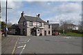
Area Overview for Glassford
Photos of Glassford
Area Information
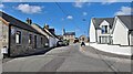
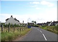
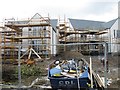
Glassford is a built-up area in Scotland, covering 22.6 hectares. It functions as a small town with a compact footprint, offering residents a mix of practical living and accessible amenities. The area is served by five nearby railway stations, including Larkhall, Merryton, and Chatelherault, providing regular connections to surrounding regions. For daily needs, residents can access five retail outlets within practical reach, such as Co-op King, Spar, and Aldi Strathaven. While the population size is not specified, the area’s infrastructure suggests a community focused on convenience and connectivity. Living in Glassford means balancing proximity to essential services with a relatively modest scale of development. The presence of multiple rail links and local shops indicates a practical, commuter-oriented lifestyle. For those seeking a place with straightforward access to transport and retail, Glassford offers a straightforward, no-frills environment.
- Area Type
- Built Up Area 250
- Area Size
- 22.6 hectares
- Population
- Not available
- Population Density
- Not available
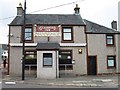
Living in Glassford provides access to a selection of local amenities that cater to everyday needs. The five nearby retail outlets, including Co-op King and Aldi Strathaven, offer groceries, convenience items, and essential services. These shops are within practical walking or short driving distance, supporting a lifestyle that values convenience. The area’s rail connections further enhance its appeal, with stations like Larkhall and Chatelherault providing links to broader networks. While the data does not specify parks or leisure facilities, the presence of multiple retail and transport hubs suggests a community focused on practicality. For residents, the combination of local shops and rail access creates a functional environment where daily errands and travel are manageable without significant reliance on cars.
Amenities
Schools
| Rank | School | Type | Entry gender | Ages |
|---|
Explore more schools in this area
Go to Schools tabDemographics
Household Size
Accommodation Type
Tenure
Ethnic Group
Religion
Household Composition
Age
Household Deprivation
NS-SEC
Explore more demographic insights in this area
Go to Demographics tabPlanning
Planning Constraints
- Crime RiskPremium